If you’re looking for a truly unique and memorable way to visit the Dachau Concentration Camp Memorial Site, consider the Dachau Path of Remembrance.
Most visitors to the former concentration camp take the train from Munich and then jump on the bus that takes them right to the camp’s entrance. But that’s because most people don’t know you can actually walk to the camp from the train station.
In fact, this relatively short walking path is the most historically-significant and eye-opening way to arrive at the former camp. Read on to see why you should opt for taking the Path of Remembrance and everything else you need to know about it.

For all general information about visiting the former camp and memorial site, see my full guide to visiting Dachau Concentration Camp here.
What is the Dachau Path of Remembrance?
The Dachau Path of Remembrance is a walking route that takes you from the Dachau train station to the entrance of the Dachau Concentration Camp Memorial Site. It follows the original route taken by the prisoners. While there were rail lines that connected the train station and the camp, most of the prisoners were forced to deboard at the station and walk the rest of the way on foot.
Today, the walk is an interesting way to learn even more about the camp’s operations and honor those who walked the path long ago. Along the way, you’ll have the opportunity to stop at 12 informative panels and memorials. These explain even more about the experiences of the prisoners and operations of the camp, and even point out the historical buildings along the route that still stand today.
How to Get Here
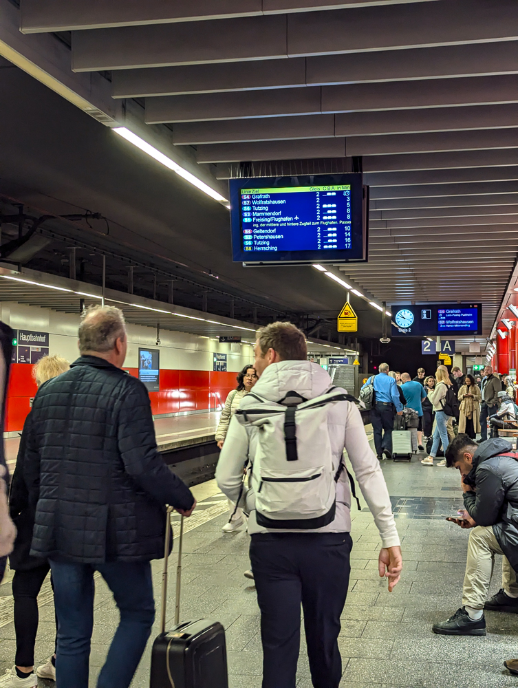
To get to the start of the Dachau Path of Remembrance, you’ll want to take the train (from wherever you are) to the Dachau Bahnhof. From Munich, take the S2 in the direction of either Altomünster or Petershausen. Get off at the stop for Dachau. (Should be about 8 stops in between.)
At certain times you can also take the RB16 (in the direction of Eichstätt Bahnhof) which takes you directly to the Dachau station without any stops. You can see all train schedules and routes here on Bahn.com.
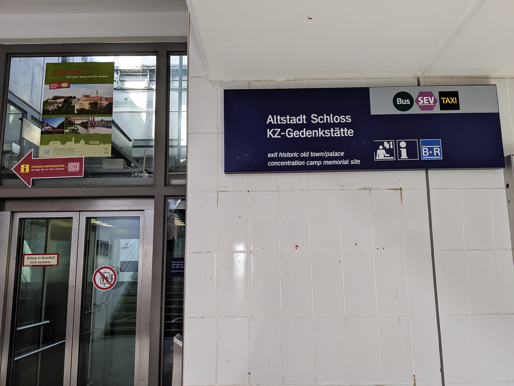
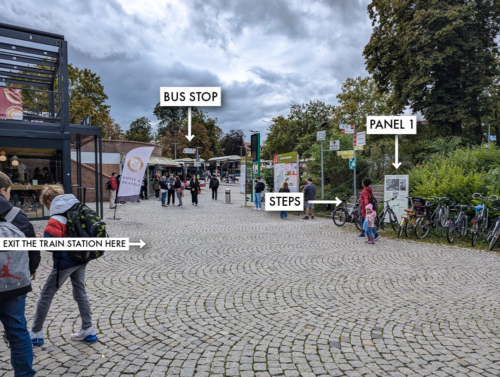
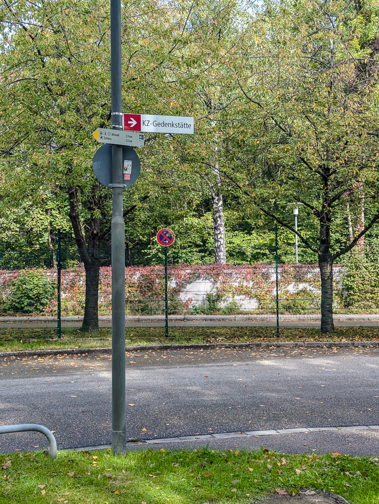
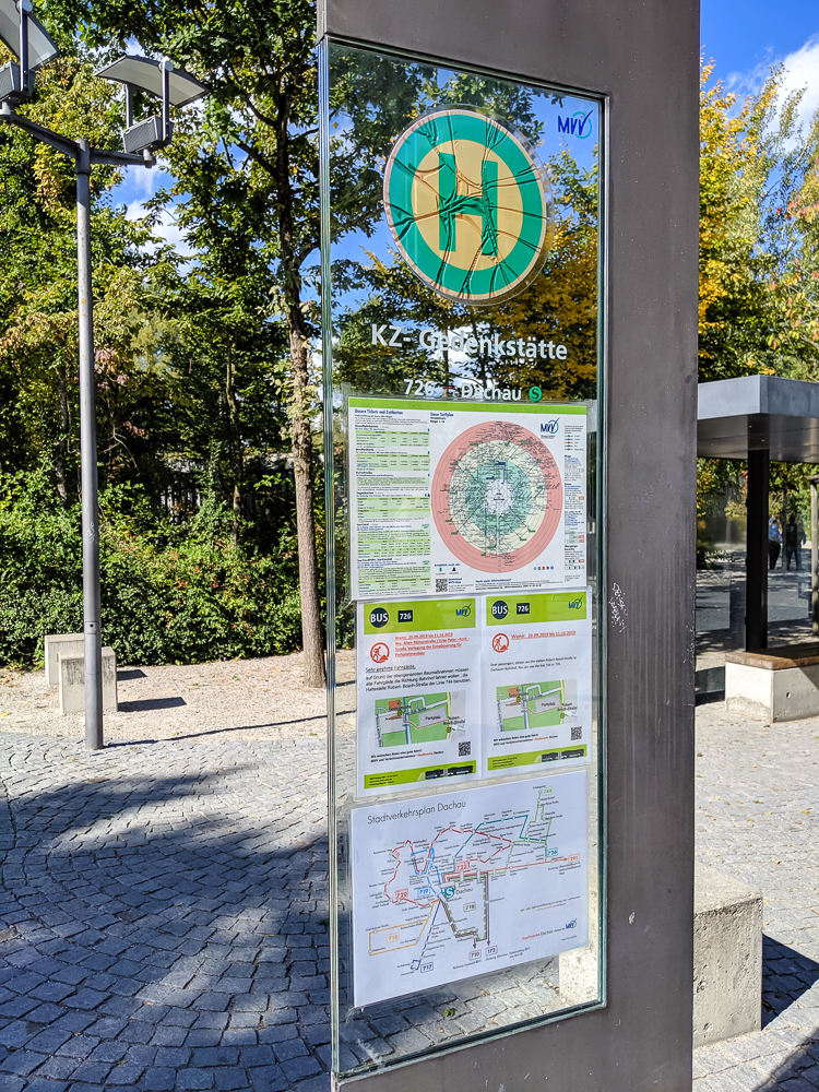
At the Dachau train station, head out to the main entrance / where the buses stop. (You can follow the signs to KZ-Gedenkstätte to find it.) There’s also a Müller Café & Bakery and a Press Books convenience store here if that helps.
Directly across from the opening into the train station you’ll find the first panel of the Dachau Path of Remembrance. (In between the staircase and the bike parking area.) From here, climb the steps and turn right, then follow the map I’ve included below.
KZ-Gedenkstätte stands for “Concentration Camp Memorial” in German. So, you’ll see the Dachau memorial site referred to as “KZ-Gedenkstätte Dachau.” The letters KZ are the abbreviation for the German word Konzentrationslager (“concentration camp”).
See my full guide on how to get to Dachau from Munich here. It includes what train tickets to buy, which trains to get on and where, and much more.
Dachau Path of Remembrance Map
The generic Dachau Path of Remembrance “map” on the official website makes it nearly impossible to find the informative panels. So, I’ve walked the path and mapped out all of the panels and sites myself, so you can know exactly where to find everything. These photos are all from my visit in September 2024.
This map contains all the stops along the Dachau Path of Remembrance plus a couple of other notable stops. To save this map: Click on the star ⭑ next to the map’s title to save in your Google Maps. To use this map: When you get here, open Google Maps on your phone, click “Saved” at the bottom, then click “Maps.”
What to see on the Path of Remembrance
Along the Path of Remembrance, you’ll find 12 informative panels that each explain something about the camp’s prisoners, how the camp operated, or the history of a specific historical structure nearby. Here they are, in order:
- The Prisoners of the Dachau Concentration Camp
- The Prisoner Transports to the Dachau Concentration Camp
- The Connecting Line to the Concentration Camp
- Original Line Section
- The Deployment of Prisoners in Road Works in Dachau
- Topography of the Dachau Main Camp Complex
- SS Residential Estate in the ‘Straße der SS’
- SS Drill Camp
- The SS Residential Estate on ‘Theodor-Eicke-Platz’
- Foundations of the Former SS Main Guardhouse
- The Business Enterprises in the Dachau Concentration Camp
- The Dachau Concentration Camp Herb Garden
You can click on the panel links below to see close-up images of them, courtesy of Dachau’s tourism department.
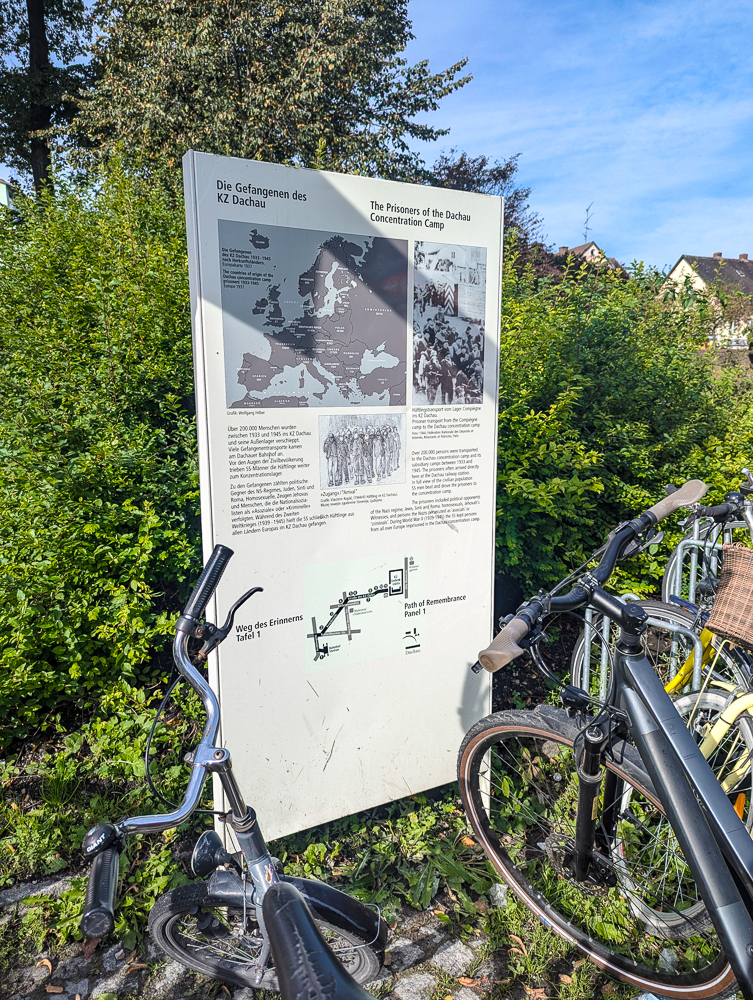
Panel 1: The Prisoners of the Dachau Concentration Camp
Panel 1 is located just outside the entrance to the Dachau train station, across from the café and book store. It (very) briefly explains who the prisoners at Dachau were and how many there were. It also contains a map of where Dachau’s prisoners originated, an archival photo of a Dachau prisoner transport, and an illustration.
From Panel 1, go up the steps next to it and turn right. Continue up Frühlingstraße, cross the street at the first intersection, and turn right onto Schleißheimer Str. Follow the sidewalk under the overpass and take your first left onto Friedenstraße. Just ahead on your left (in front of the stream) you’ll find Panel 2.
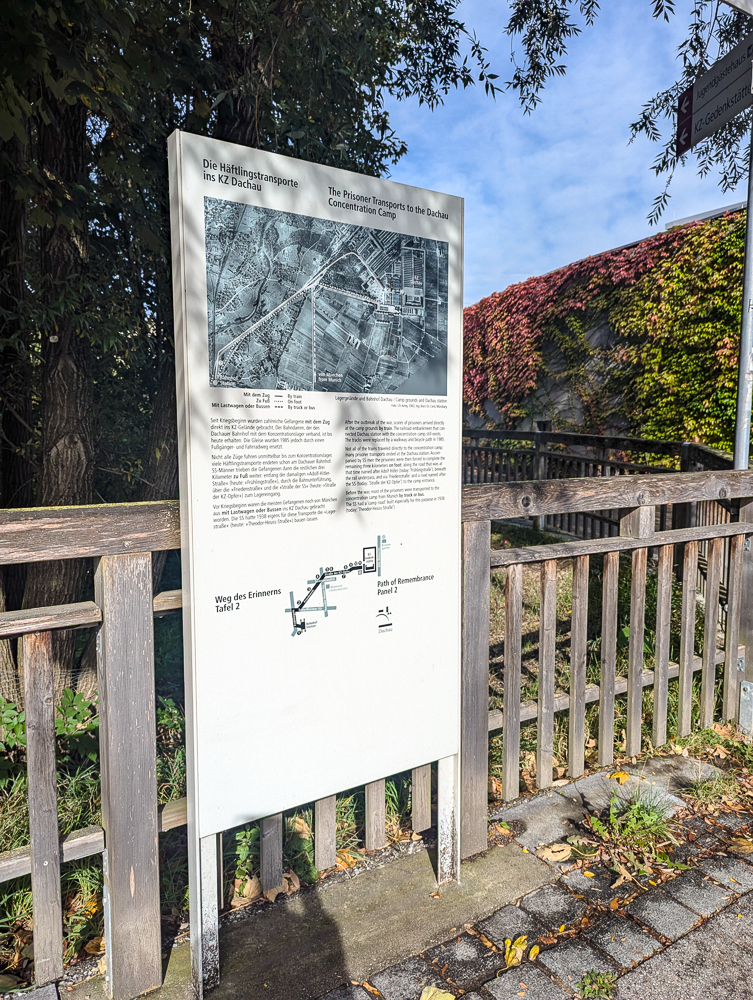
Panel 2: The Prisoner Transports to the Dachau Concentration Camp
Panel 2 explains how prisoners arrived at the Dachau Concentration Camp from the train station. Some arrived directly by train; some by bus or truck; but many arrived on foot (using the same path you are now). The included map shows these three different routes.
Stay on this same side of the street and continue walking up Friedenstraße. Panel 3 will be on your left near the intersection with Brunhildenstraße.
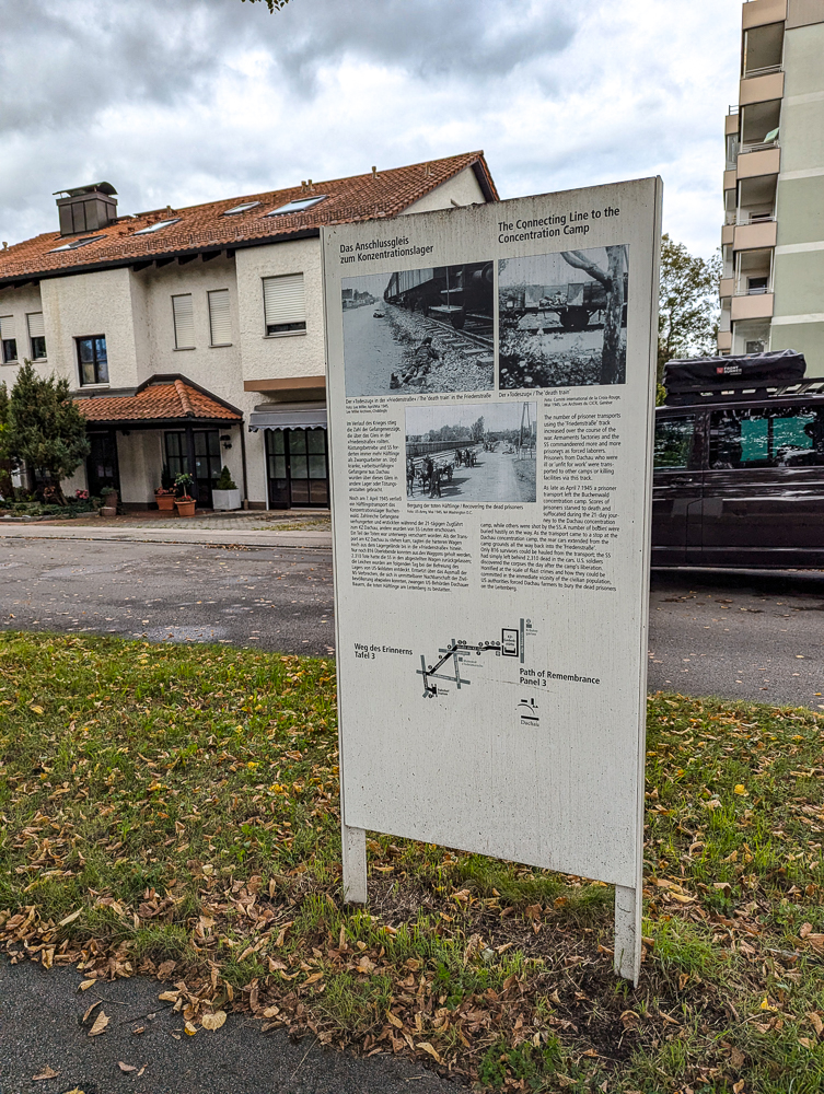
Panel 3: The Connecting Line to the Concentration Camp
Panel 3 discusses the train line that once ran along this same road connecting the main station to the camp. It then tells the story of the ‘death train’ incident here in April 1945 and includes some graphic photos.
From Panel 3, continue walking up Friedenstraße until you reach the next large intersection at Erich-Ollenhauer-Straße. Panel 4 will be just across the street, at the corner of John-Fitzgerald-Kennedy-Platz.
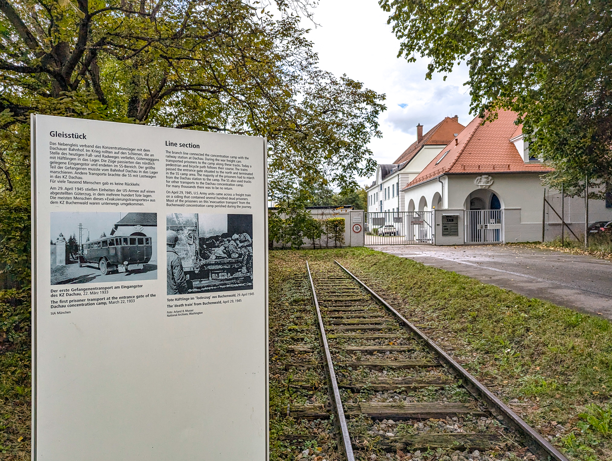
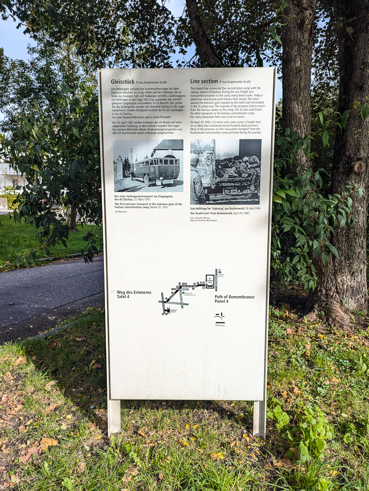
Panel 4: Original Line Section
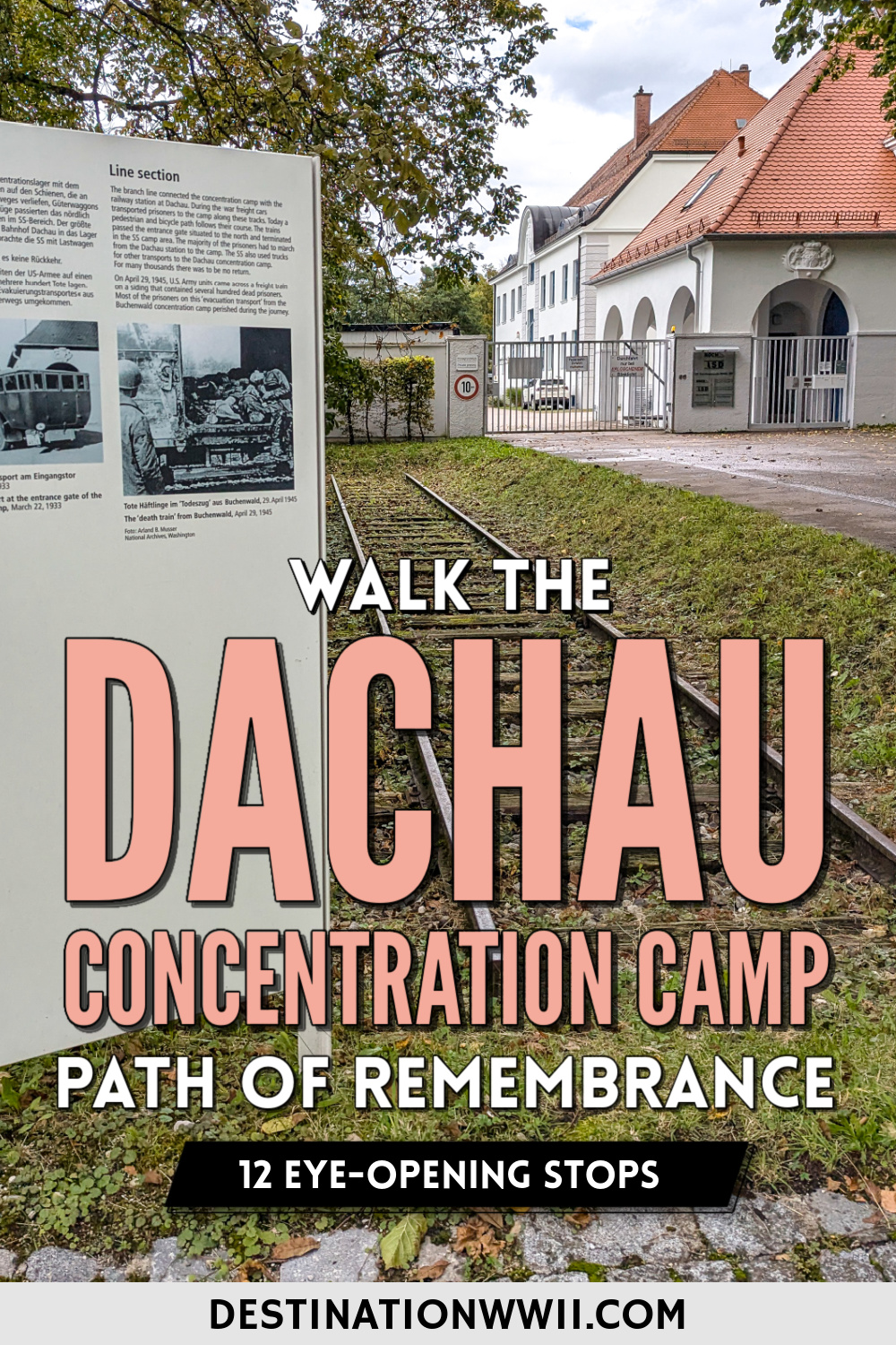
The panel you’ll see here (Panel 4) talks about the original rail line that connected the main train station to the camp. It also mentions how US Army units discovered a rail car here filled with corpses and includes some historical photos.
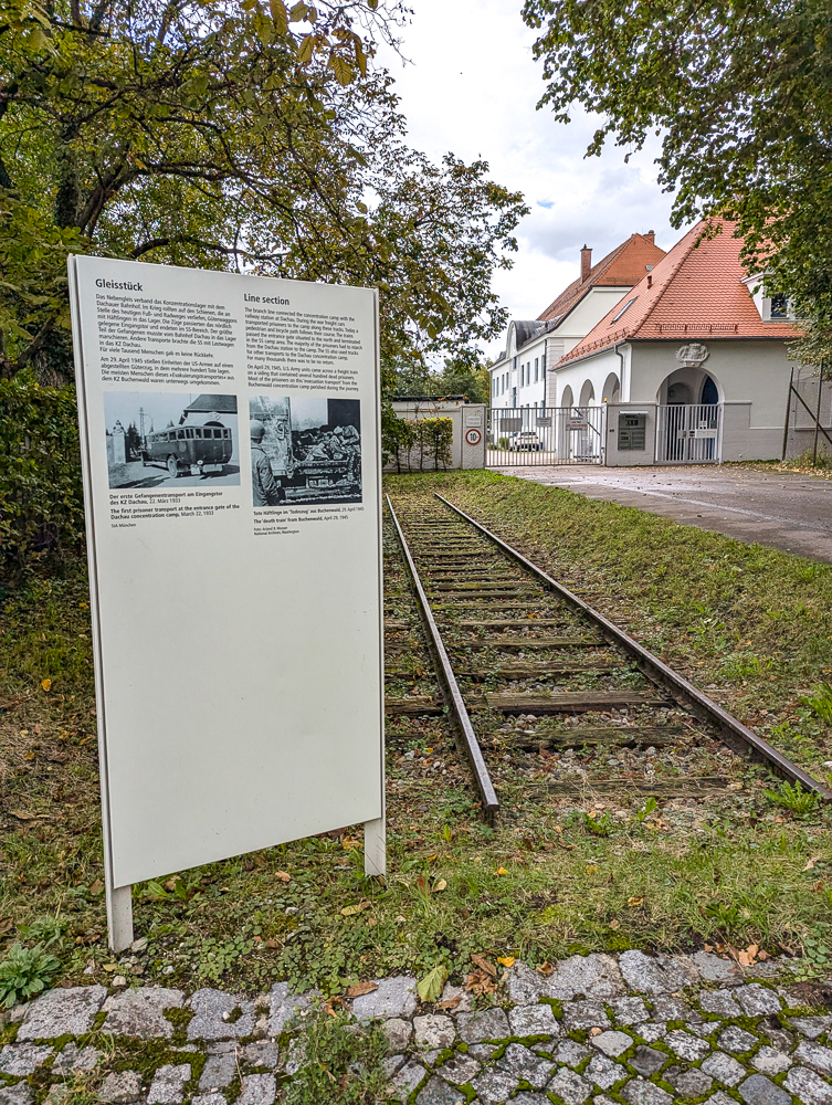
From here, you can either continue on to Panel 5, or you can walk a bit more past Panel 4 to see the actual original section of rail. (Definitely go see the rail line!)
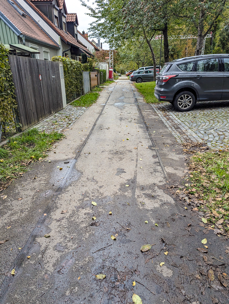
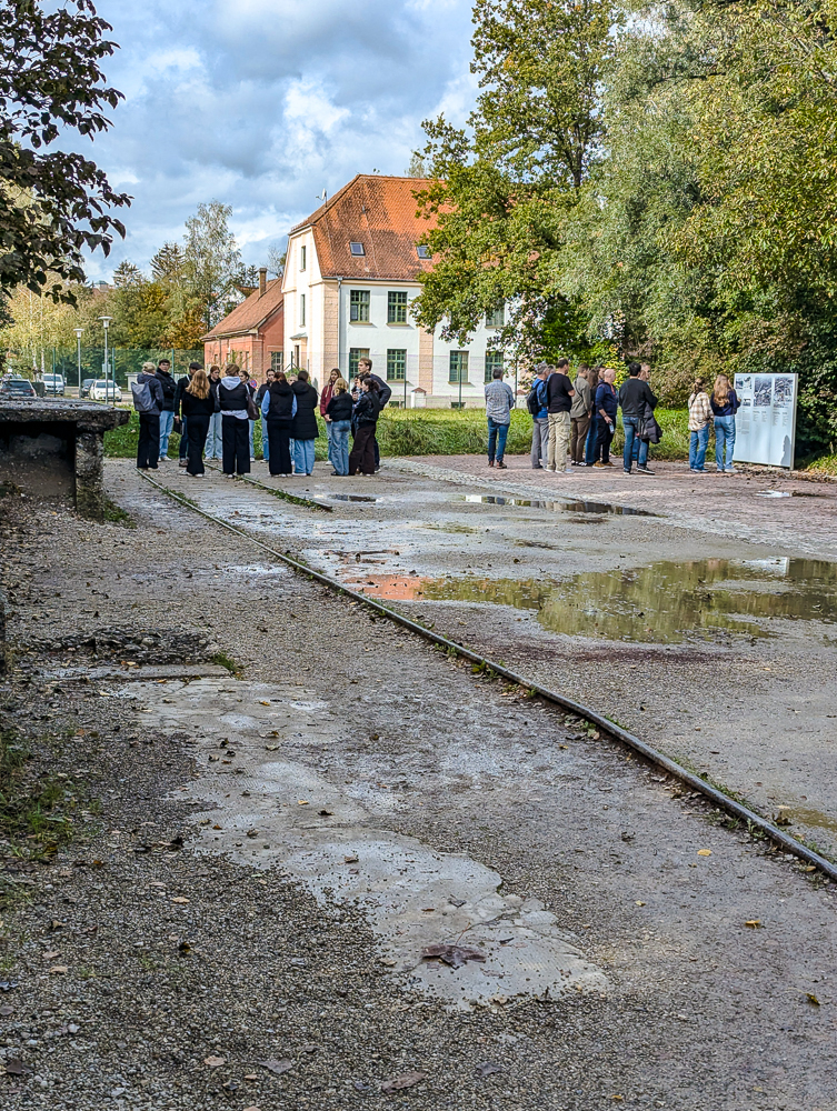
To do this, continue walking straight up Friedenstraße (the path to the left of the panel). Continue walking this way, past all the houses, until you can’t go any farther. At the end of this road, you’ll see the same Panel 4 next to a section of original rail line. You’ll recognize the building to the right of it from the historical photo on the panel.
From here, walk back out to the main intersection and turn left. Walk until you reach the next stop light, passing the Dachau ’95 Memorial on your left (see below for details). At this point, you can either turn right to go see the Dachau Death March Monument (see below for details) or turn left toward Panels 5/6.
To visit the monument, cross the street, then turn right and cross the street again. You’ll find the monument just a little ways down, in a small patch of grass between the sidewalk and Theodor-Heuss-Straße.
To skip to Panels 5/6, cross the street at the light and turn left. The next panels will be up the road on your right.
Panel 5: The Deployment of Prisoners in Road Works in Dachau
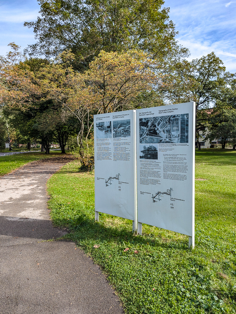
Panels 5 & 6 are side-by-side. Panel 5 talks about the use of prisoners as forced labor and their role in building the town you’re walking through today. (And how the town’s residents knew all about what was going on here.)
Panel 6: Topography of the Dachau Main Camp Complex
Panel 6 gives an overview of the physical makeup of the camp including a large map of how the Dachau complex was broken up. This panel also talks about the death march and how parts of the camp are utilized today.
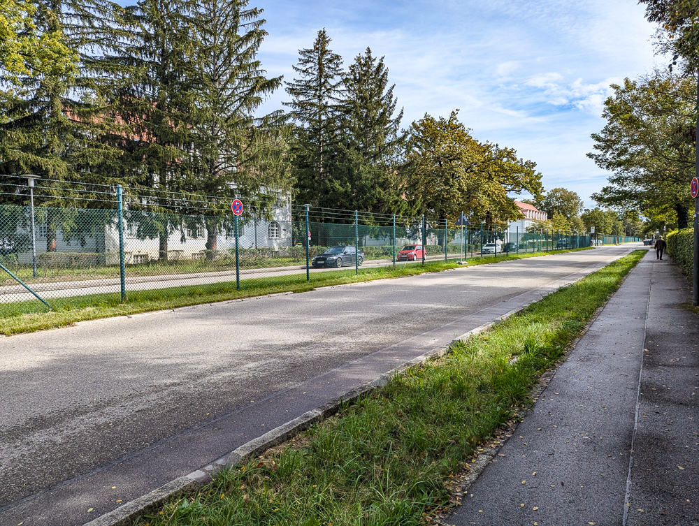
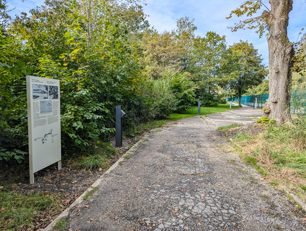
From here, continue following the footpath that runs alongside the road (Str. d. KZ-Opfer). Follow the road as it curves around and you’ll eventually come to Panel 7, in front of the tall green fence.
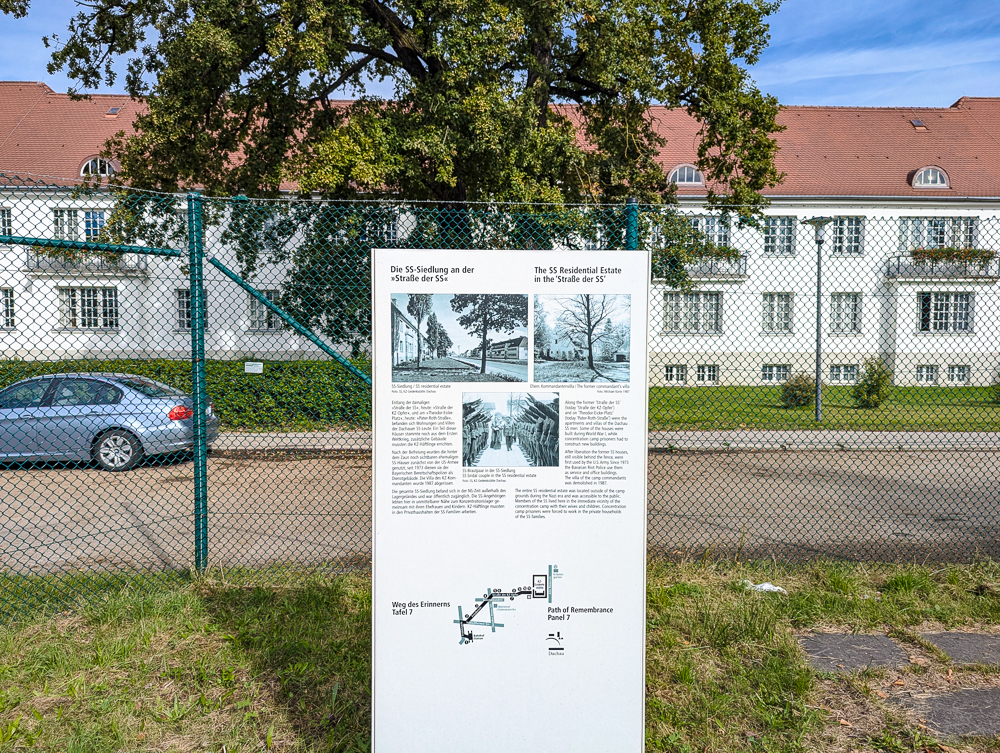
Panel 7: SS Residential Estate in the ‘Straße der SS’
Panel 7 talks about the street you’re now on and how it contained the many apartments and villas used by the Dachau SS men. (The buildings you see behind the panel are the original SS apartments.) It also mentions how some of these buildings are used today.
Continue straight along this path and Panel 8 is not far away.
Don’t miss out on seeing all the interesting WWII sites in Munich either! That link contains the full list and a link to my printable Munich WWII itinerary.
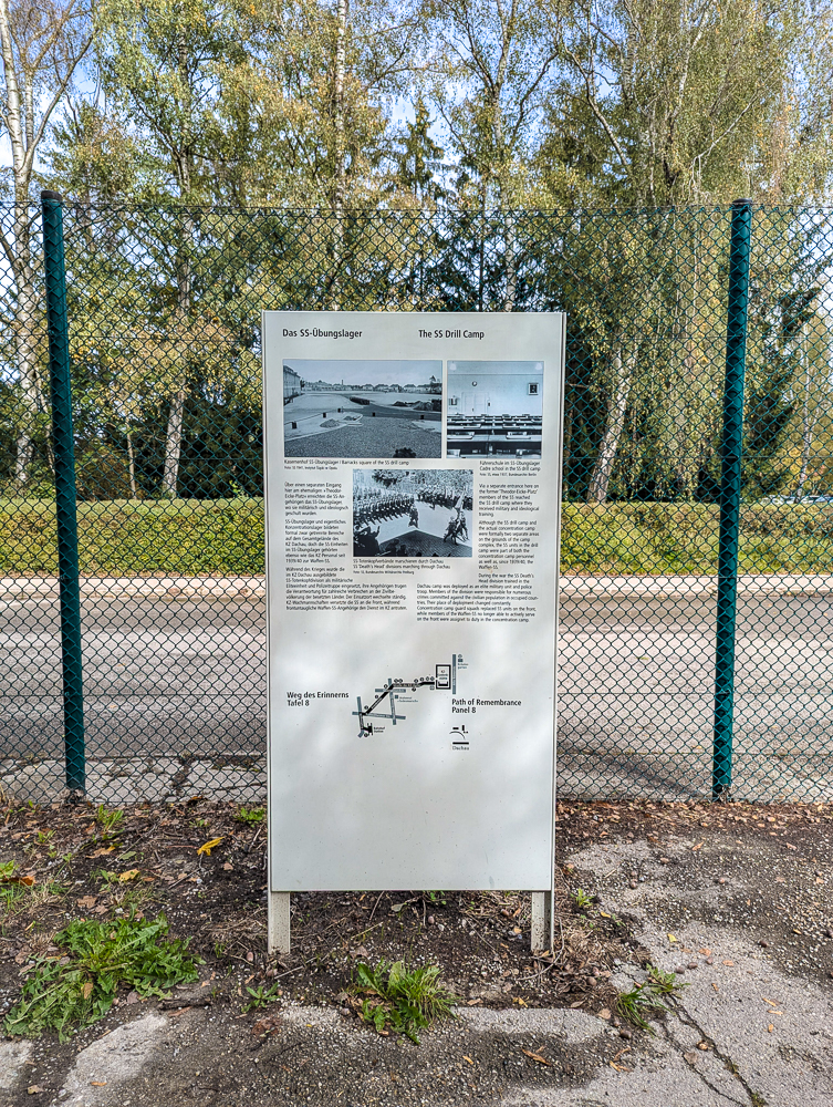
Panel 8: SS Drill Camp
Panel 8 focuses on the former SS Drill Camp. This panel talks about how the SS and other military units were trained here at Dachau. Stay on this path and the next panel is just up ahead.
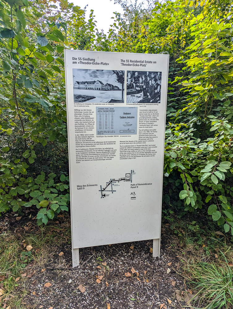
Panel 9: The SS Residential Estate on ‘Theodor-Eicke-Platz’
Panel 9 talks about the former Theodor-Eicke-Platz that was here and how it was built using forced prison labor. This building included a bakery, general store, post office, an inn, and rooms for social events.
Theodor Eicke was the second commandant of Dachau Concentration Camp and a key figure in the development of the overall Nazi camp system. Panel 10 is easily found just a little ways up this same path.
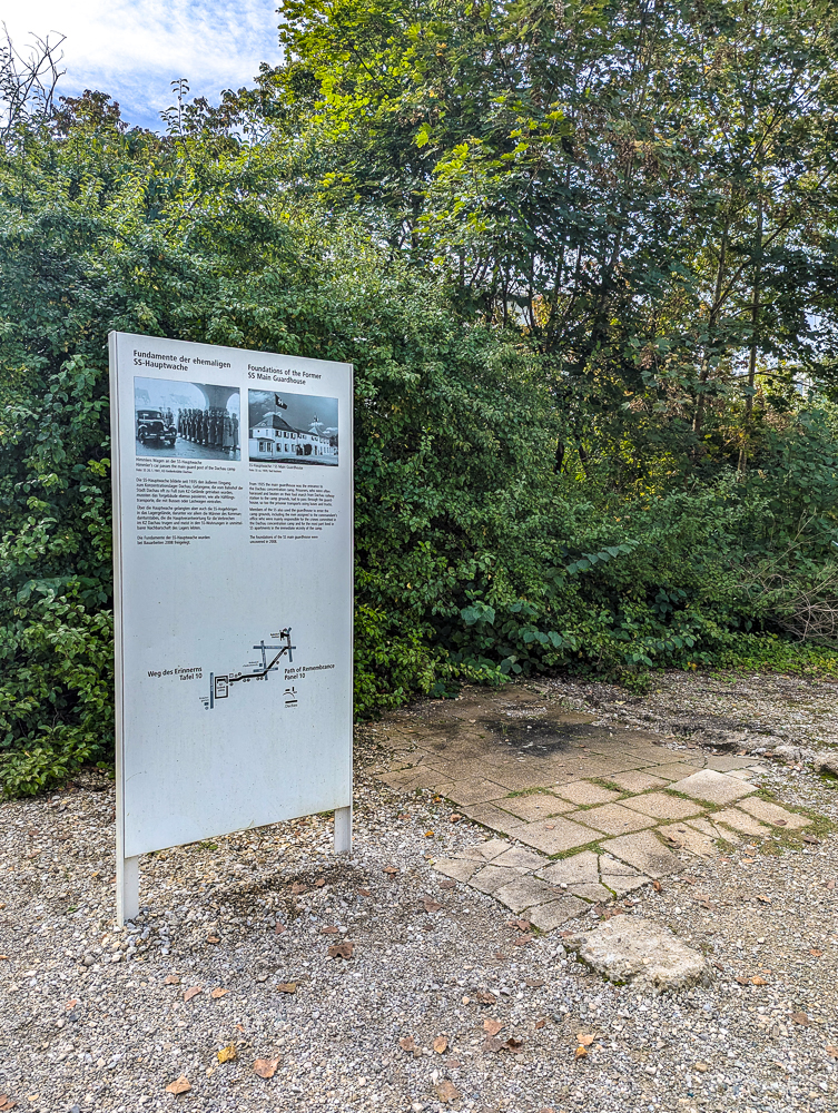
Panel 10: Foundations of the Former SS Main Guardhouse
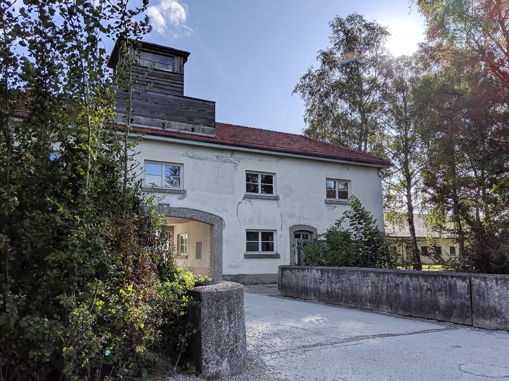
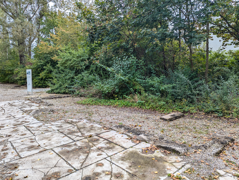
Panel 10 talks about the main SS guardhouse as the first building the prisoners would pass through upon arrival. On the ground next to the panel you can see parts of the original foundation.
However, the Dachau website shows Panel 10 as focusing on the role of the SS within the camp. Their version includes an illustration by a former prisoner depicting the SS doling out a punishment. I’m not sure at what point the topic of the panel changed, but now you have two!
If you’re looking at Panel 10, turn around and you’ll find Panel 11 behind you.
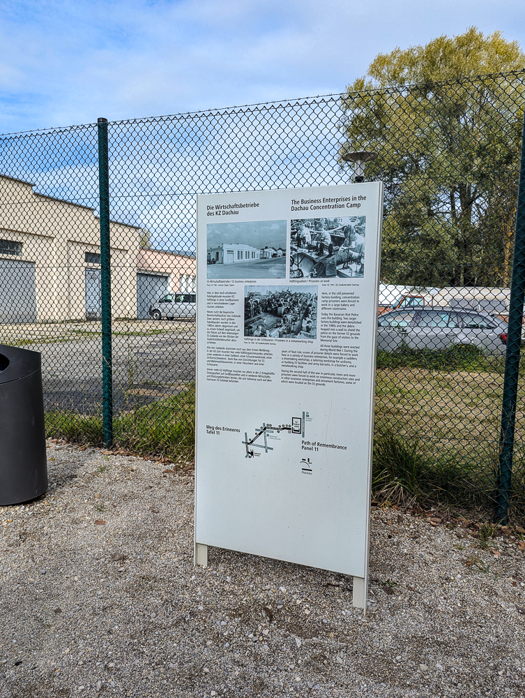
Panel 11: The Business Enterprises in the Dachau Concentration Camp
Panel 11 talks about the building behind the fence right in front of you. During the war it was used as a factory where camp prisoners were forced to work. Today, the Bavarian Riot Police uses it as a headquarters.
Panel 12: The Dachau Concentration Camp Herb Garden
The last panel on the Dachau Path of Remembrance is actually nowhere near Panel 11. Instead, Panel 12 is actually on the other side of the former camp, completely opposite from where you are now. (The walk from Panel 11 to Panel 12 will take about 20 minutes. Unfortunately, you can’t cut through the memorial site.)
To get to Panel 12, you’ll need to turn right past the Visitors Center and walk to the main road (Pater-Roth-Straße). Then, turn left and follow it to the next big intersection at Alte Römerstraße and turn left again. Continue up this road, past the entire length of the camp, until you reach Hans-Böckler-Straße. Turn right and Panel 12 will be down on your left past the green space.
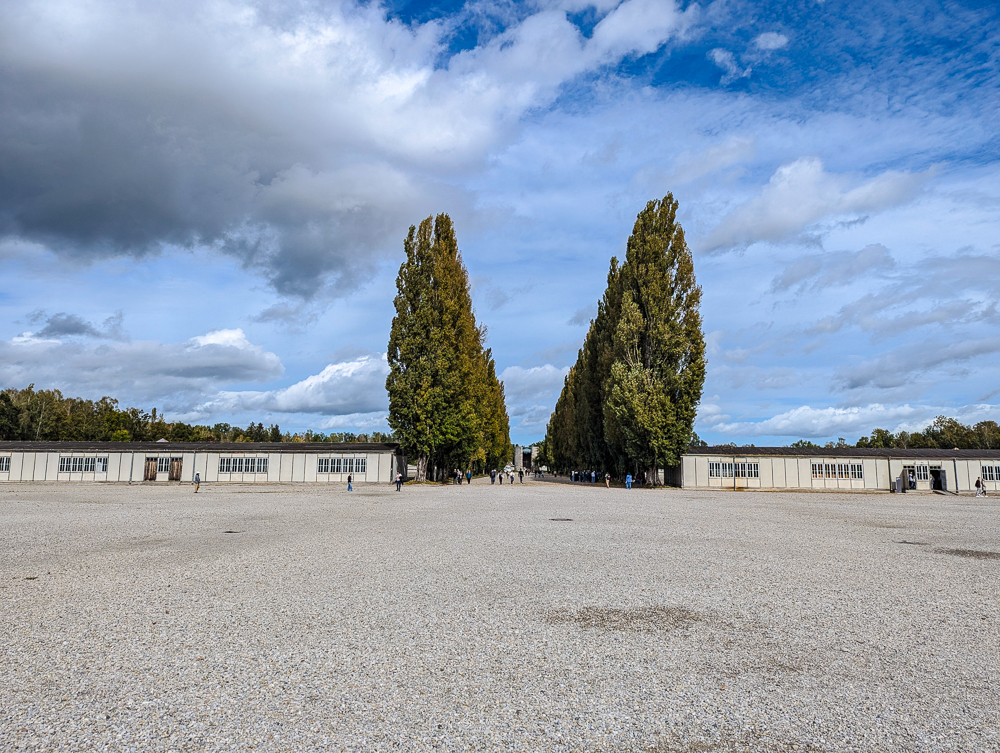
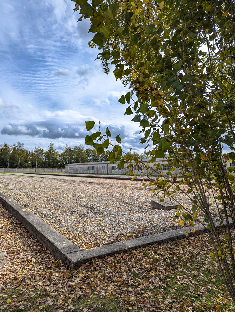
Once here, you’ll find Panel 12 which talks about how this space was used as the camp’s herb garden. The purpose of this garden was to grow whatever was needed so that Germany would no longer have to rely on foreign imports of medicines and medicinal herbs.
Working conditions in the garden were brutal and many prisoners were shot while on garden duty. Produce from the garden was sold to nearby residents, which allowed some of the prisoners to establish secret communication networks with civilians.
Dachau ’95 Memorial / Gitter Denkmal
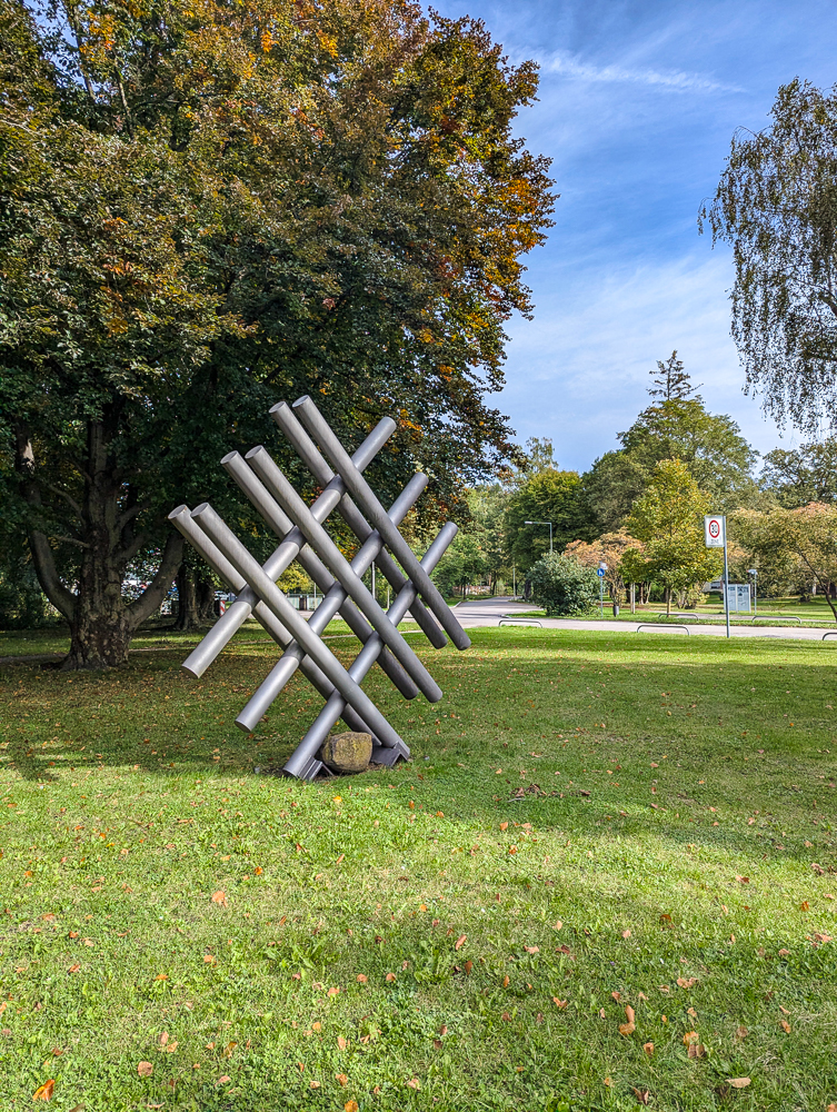
The Dachau ’95 Memorial (also seen as the Gitter Denkmal on Google Maps) is a large silver piece of art between Panels 4 and 5/6. On the ground near the sidewalk is a small panel that contains a poem by the artist (in German). Otherwise, there’s no information to be found. But that’s why I’m here!
This piece was constructed by Israeli sculptor Abraham Borenstein for the Dachau ’95 Project to commemorate 50 years since the camp’s liberation. It was near this spot where the Dachau Death March passed and where US troops found the “death train.”
As to the meaning of the memorial and its design, I haven’t a clue. How anyone is supposed to even know what this is, I also don’t know. The abstractness of memorials like these and the complete lack of useful information, in my opinion, makes such artistic installations pointless. Without letting people know the impetus behind it, its meaning disappears. But I digress.
“Gitter Denkmal”
Google Maps refers to this monument as Gitter Denkmal. In German, Gitter means ‘grid’ or ‘lattice’ and Denkmal means ‘monument.’ So “Gitter Denkmal” likely just refers to its artistic design (and because people know nothing about it beyond that).
However, though probably unrelated to this monument, it’s worth noting that a mass arrest event took place here in Nazi Germany in August 1944 known as Aktion Gitter. The Gestapo orchestrated this event as a response to the July 20th assassination attempt on Hitler at the Wolf’s Lair in Poland.
It involved the arrest of more than 5,000 perceived political enemies of the Third Reich like Communists, Liberals, and Social Democrats. Those arrested were imprisoned in nearby concentration camps, with Dachau receiving the most (860). Many of those arrested eventually participated in the death marches and/or died as a result of their imprisonment.
So, while the name of this memorial probably just refers to its shape, perhaps there’s a small chance it commemorates this event as well.
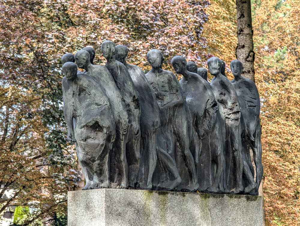
Dachau Death March Monument
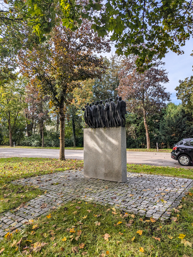
Not featured as part of the “official” Dachau Path of Remembrance is the Death March Monument, located roughly between Panels 4 and 5/6.
As happened at many Nazi concentration camps, as the Allied troops closed in around the summer of 1944 onwards, the SS began evacuating the camps and moving the prisoners farther away from the front lines. This was done through forced marches where thousands of prisoners died from harsh conditions, starvation, disease, exhaustion, or being shot by the SS for being physically unable to keep up.
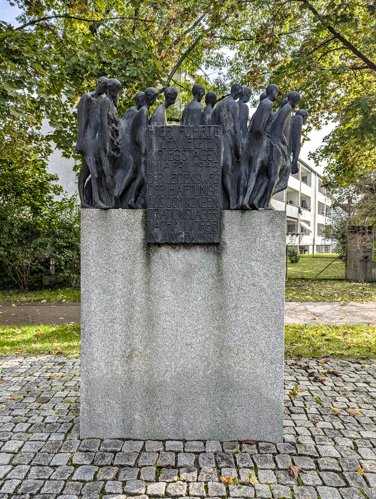
The Dachau death march began on April 26, 1945 (just three days before US troops liberated the camp) and ended on May 2 in the town of Tegernsee near the Austrian border. The SS had forcibly marched more than 7,000 prisoners from Dachau about 70 miles in 7 days.
This small monument along the Path of Remembrance is one of 22 identical such monuments that commemorate those who suffered on the Dachau death marches. The others have been placed in cities along the route taken to Tegernsee, including Krailling, Eurasburg, and Bad Tölz).
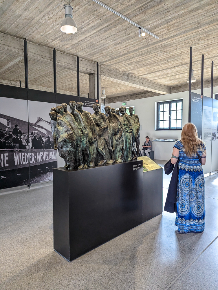
This particular one was erected in Dachau in 2001. You can find a copy of this monument inside the Memorial Site’s Permanent Exhibition as well if you want to see it close-up.
Dachau Path of Remembrance FAQ
Here are a few more answers you may be looking for before heading out on the Dachau Path of Remembrance.
How long is the path?
The Dachau Path of Remembrance is 3 kilometers long (1.8 miles). It starts at the Dachau Bahnhof and ends at the entrance of the Dachau Concentration Camp Memorial Site. (Not including Stop #12 which is far away on the other side.)
How long does the walk take?
Walking the Dachau Path of Remembrance takes about 45 minutes. This includes the walk from the train station to the memorial site. But don’t forget to factor in:
- A little more time for reading all the panels
- About 10 more minutes to check out the original rail section at Panel 4
- And another 20 minutes (each way) to visit Panel 12 on the other side of the memorial site, if you so choose
What is the terrain like?
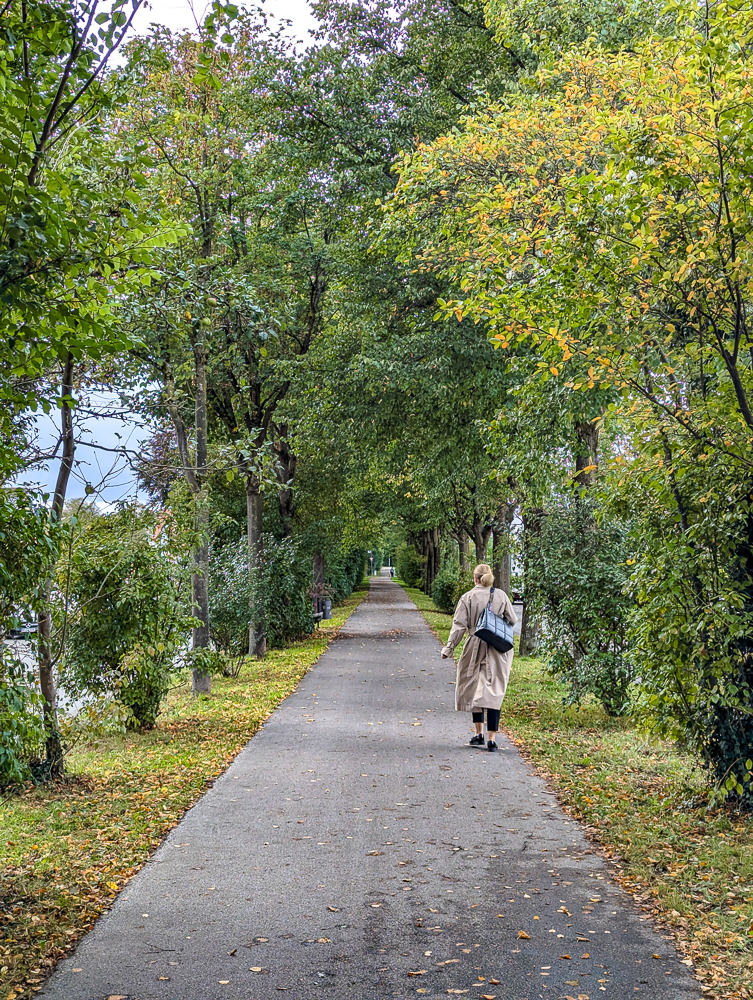
The Dachau Path of Remembrance runs through the center of the town so the terrain will be all sidewalk, all the way. (That is, until you reach the Memorial Site where it’s almost completely gravel.)
What else can I see along the way?
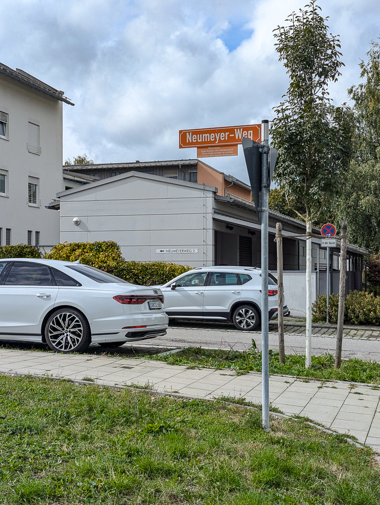
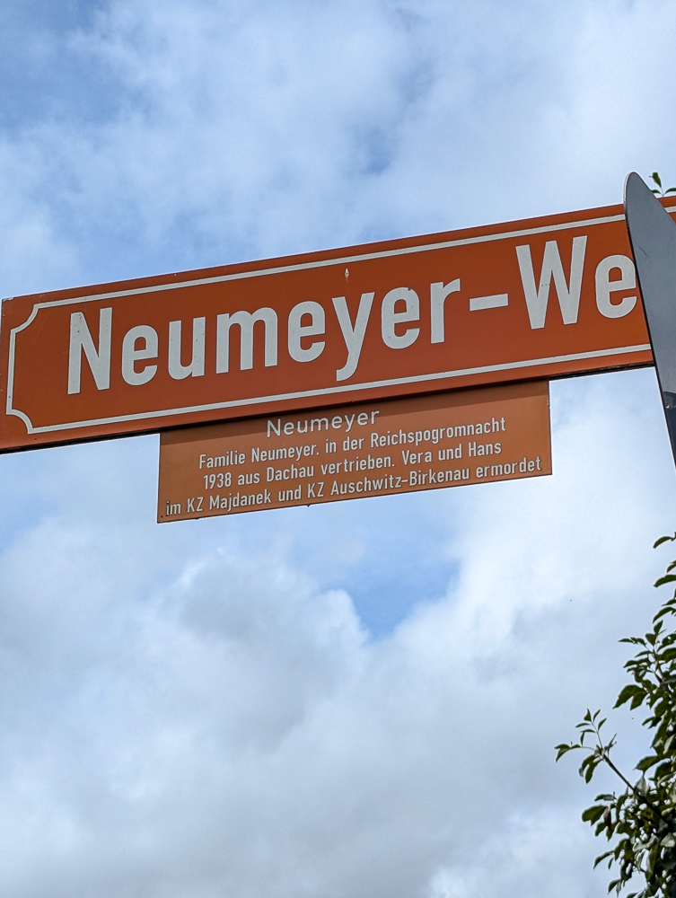
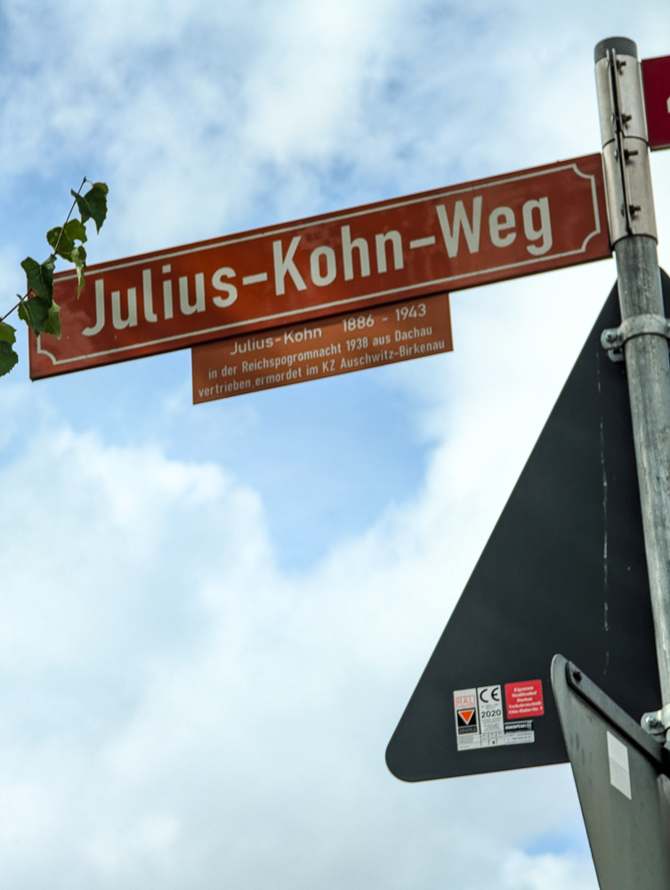
In addition to the informative panels and memorials along the Dachau Path of Remembrance, you should also take special note of the street signs, especially close to the former camp. Some of these streets have since been renamed after people and/or families who were killed in the Holocaust.
These newer street signs—in a rust orange color—contain the new street name along with some information about the subject(s) like the years they lived, what happened to them, and where they were killed.
Are there places to stop?
All along the Dachau Path of Remembrance you’ll find plenty of places to rest. There are restaurants and cafés along the way as well as several park benches. (Since much of the path runs alongside some public parks.)
Do I have to walk back as well?
After visiting the former camp, you can either walk back to the train station via the same way you came, or you can take the bus back. From the Visitors Center, head towards Pater-Roth-Straße. This is where you’ll find the bus stop for bus 726. You can take this bus to the Dachau train station in just a few stops. (Make sure to get on the bus going in the direction of “Bahnhof” and not “Saubachsiedlung.”)
More resources for visiting Dachau Concentration Camp
- Hotels: Find great places to stay in Munich here on Booking.com (but Hotels.com and Expedia are also worth checking)
- Rental cars: Check out the best local rental car deals here.
- Travel planning: Don’t forget a Germany guidebook and this Germany customs and culture guide
- Local tours: See all the great options from Viator and Get Your Guide here.
- Want more? See all my Germany posts here.
Like this post? Have more questions about walking the Dachau Path of Remembrance? Let me know in the comments below. Enjoy your time in Germany!

Save this info, pin this image:

My late father was with the 45th division which liberated the camp in April 1945-I have lots of those pictures!
Oh wow, how fascinating!