For my visit to Hawaii in August 2023, I made it a point to fill my itinerary with as many WWII hikes on Oahu as I could muster. I knew the island was still littered with World War II pillboxes, bunkers, and other remains from the island’s war days and I wanted to see as many of them as I could.
And I pretty much succeeded! I wasn’t able to fit in all the hikes I wanted to do—I still had to leave plenty of time to visit all the Pearl Harbor sites—but I made a pretty good dent in my list.
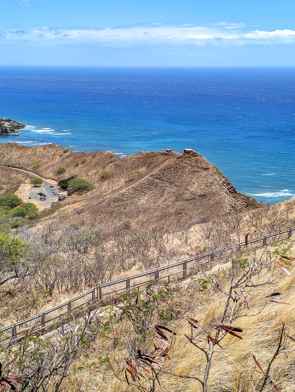
While there are plenty of WWII sites to check out on the island of Oahu, if you’re like me and want to spend most of your time in Hawaii outside, know that you don’t have to compromise! Check out this list of WWII hikes on Oahu so both your body and your mind can get a workout.
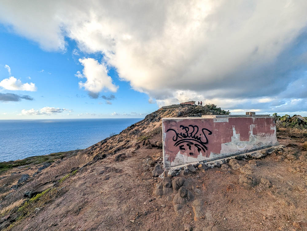
Map of WWII hikes on Oahu
This map contains all of the WWII hikes on Oahu I talk about in this post. In most cases it also includes other important info like where to park, where to pee, and where to see cool World War II stuff.
To save this map: Click on the star ⭑ next to the map’s title to save in your Google Maps. To use this map: When you get there, open Google Maps on your phone, click “Saved” at the bottom, then click “Maps.”
WWII hikes on Oahu – Disclaimer
I want to remind you here that you always hike at your own risk. Every hike (especially here in Hawaii) comes with inherent risks and trails are not always properly maintained. Always remember to never hike beyond your ability, never hike against the advice of a medical professional, and always follow the rules and trail guidelines.
The information I give you in this post is a product of my own personal experiences. Always apply what I tell you to your own abilities. Happy hiking! Now let’s get to the awesome WWII hikes on Oahu.
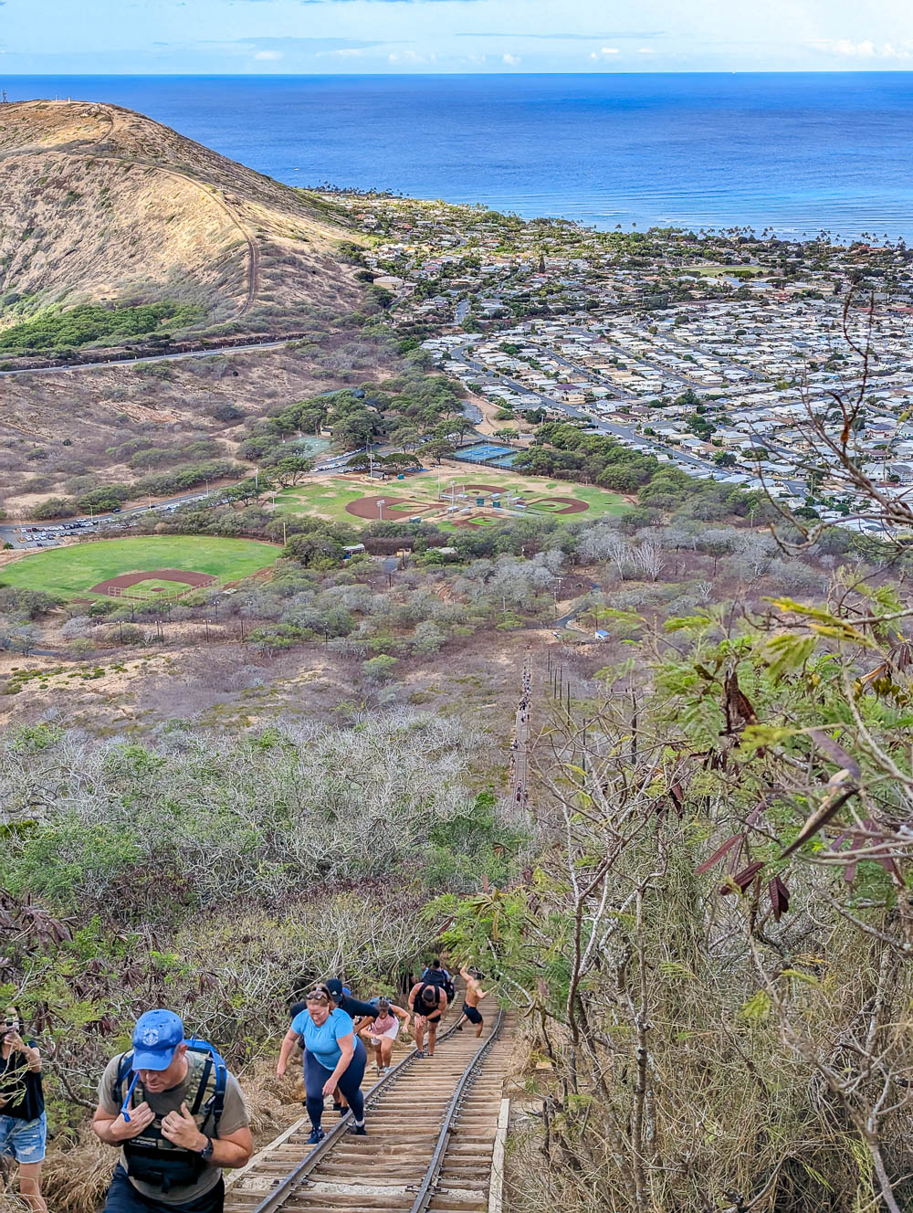
1. Koko Head Crater Hike
The first on my list of awesome WWII hikes on Oahu is the Koko Head Crater hike. This was, by far, the coolest and most unique hike I did on the island. This hike takes you up the side of the Koko Head Crater via the remains of a railway leftover from World War II.
Koko Head hike at a glance
Here’s what you can expect on the Koko Head railway hike:
- Distance: 1.6 miles roundtrip
- Time to complete: About 2 hours
- Elevation gain: Around 990 feet
- Route type: Out and back (or, ahem, up and down)
- Terrain: Loose dirt, wooden steps, lots of tripping hazards
- Conditions: Fully exposed, hot and humid, super crowded
- Difficulty: Easy and difficult, it depends (keep reading)
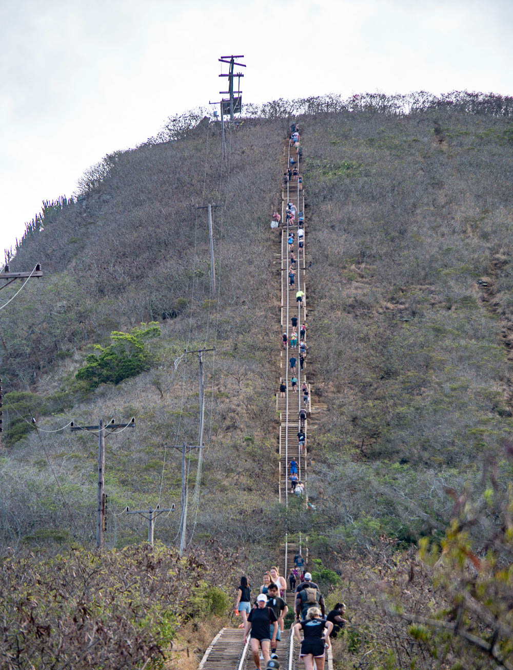
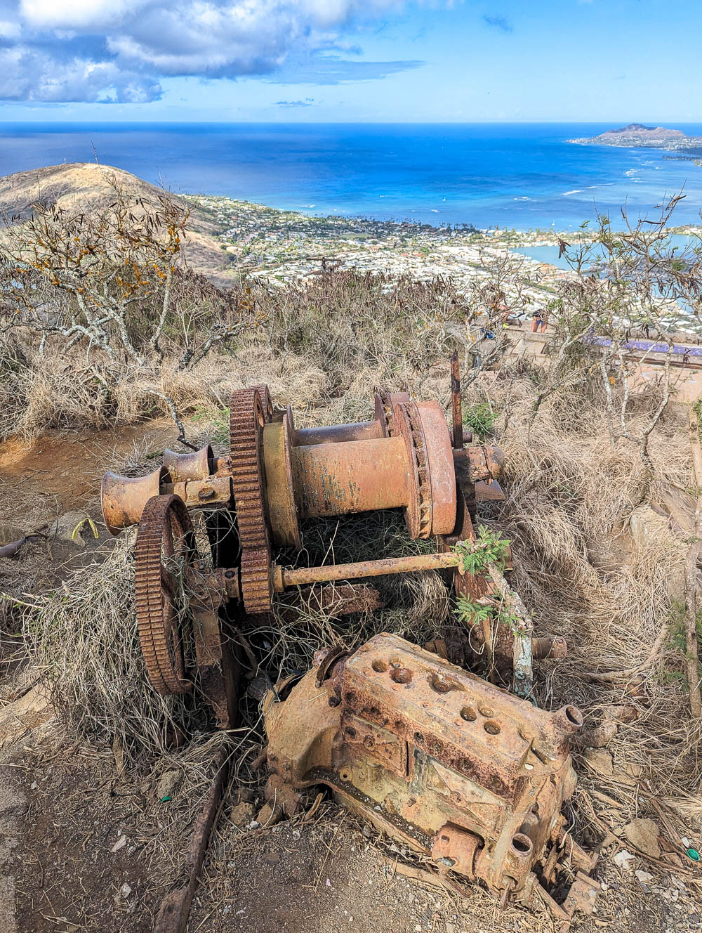
Koko Head Crater hike history
During World War II, the U.S. Army built a tramway up the side of the Koko Head Crater that connected their base at the bottom to their defense installations at the top. Using a gas-powered winch, they transported everything from equipment and supplies to people up and down the mountain.
After the war, the defense installations along with the railway changed hands a few times before being abandoned after their technology had become obsolete.
The original Hawaiian name for the Koko Head Crater is Kohelepelepe.
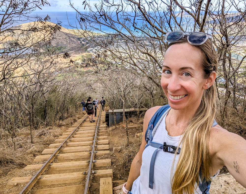
The Koko Head railway today
Today, the remains of the Koko Head railway provide the foundation for one of the most popular WWII hikes on Oahu. Every day, hundreds of people come here (tourists and locals alike) to hike up and down the mountain using the leftover railroad ties. All 1,048 of them.
The summit rewards you with 360° views of southern Oahu—you can see Diamond Head and Waikiki, Hanauma Bay, and Beyond. You can also check out the many remaining pillboxes and bunkers as well as the leftover and heavily rusted equipment from World War II.
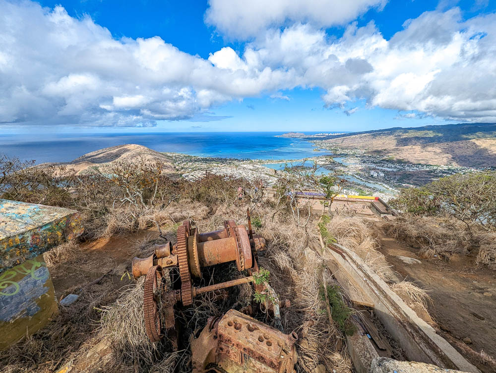
The Koko Head Crater hike is easy in terms of technicality—it’s really just walking up and down stairs. However, it’s quite physically demanding at the same time. This hill is super steep and there are so. many. stairs. The heat, humidity, and crowds enhance the challenge even more. But the end result is so worth all the effort! And what a cool way to explore some local WWII history.
There’s so much more to know about this awesome hike before you even think about attempting it. I have an entire survival guide for hiking the Koko Head railway trail and I encourage you to click that link and check it out!
2. Lanikai Pillbox Hike
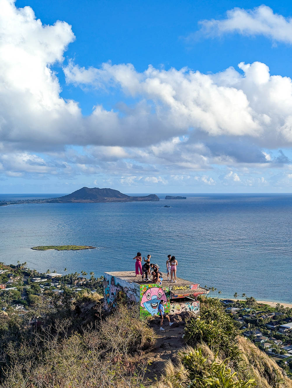
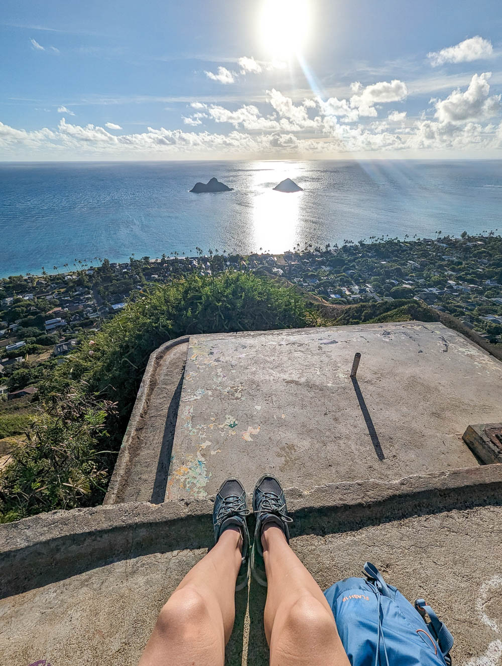
Arguably the most well-known of all the WWII hikes on Oahu is the Lanikai Pillbox hike. This hike follows the Ka’iwa Ridge along Oahu’s southeastern corner and passes two leftover World War II pillboxes along the way.
This hike is maybe only moderately challenging (depending on the conditions and your abilities) and the incredible views are worth every bit of effort to reach the top. Plus, this is one of the most popular sunrise hikes on the island.
The Lanikai Pillbox hike is also referred to as the Ka’iwa Ridge Trail
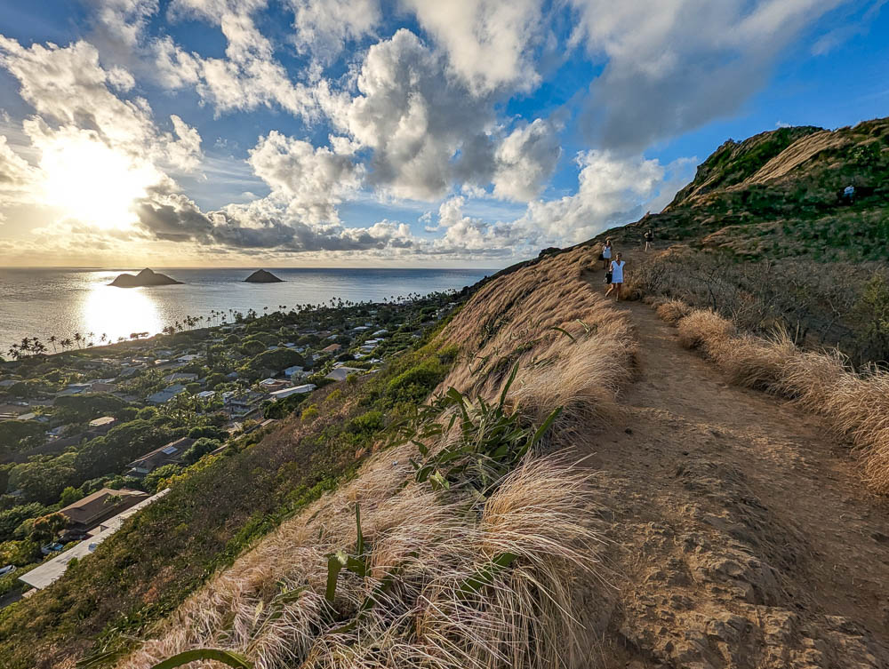
Lanikai Pillbox hike at a glance
Here’s what you can expect on the Lanikai Pillbox hike:
- Distance: 1.6 miles roundtrip
- Time to complete: 1-1.5 hours
- Elevation gain: 565 feet
- Route type: Out and back
- Terrain: Loose dirt, big rocks
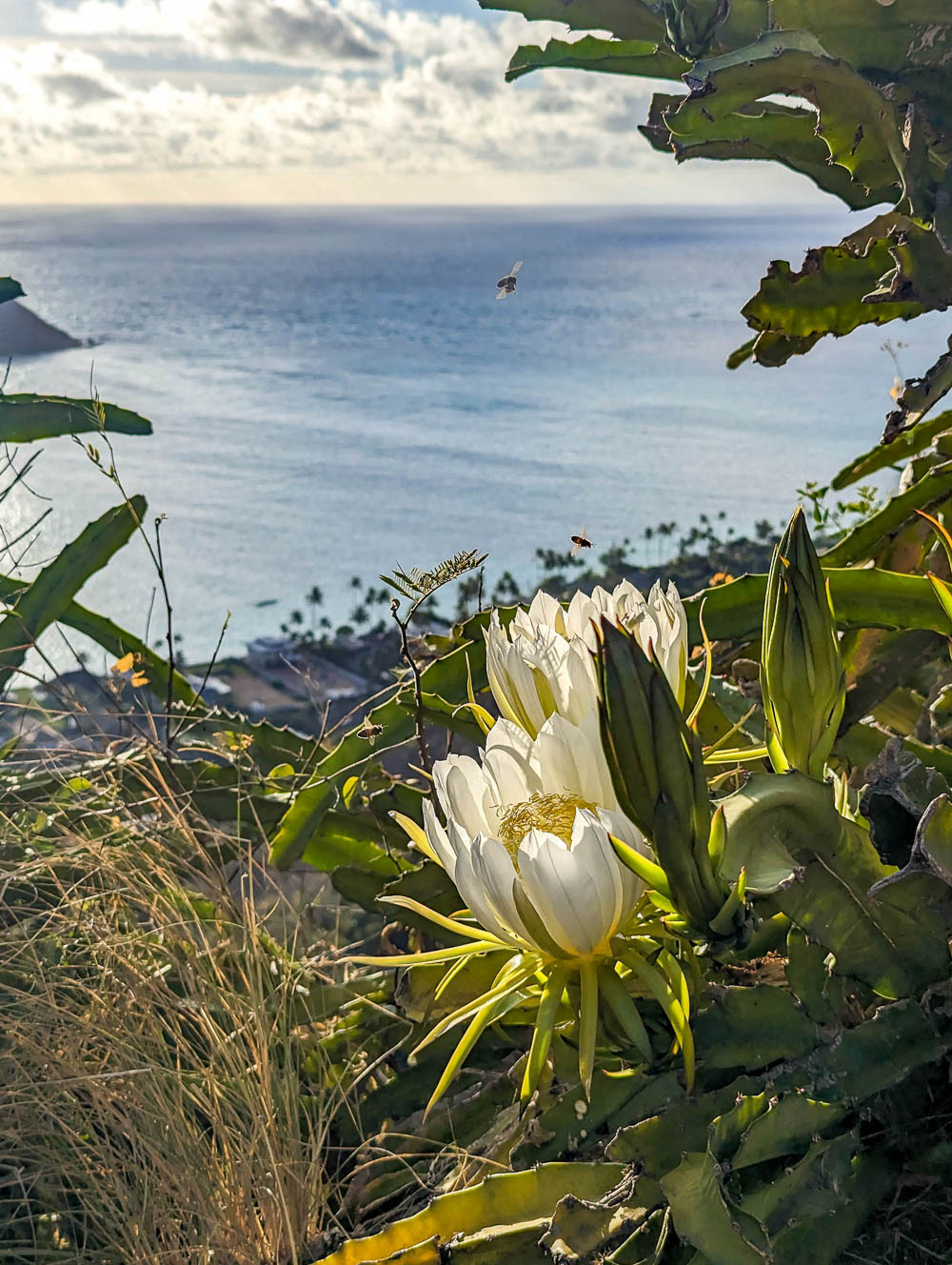
- Conditions: Fully exposed, hot and humid, lots of bees
- Difficulty: Easy to moderate
Lanikai pillbox hike history
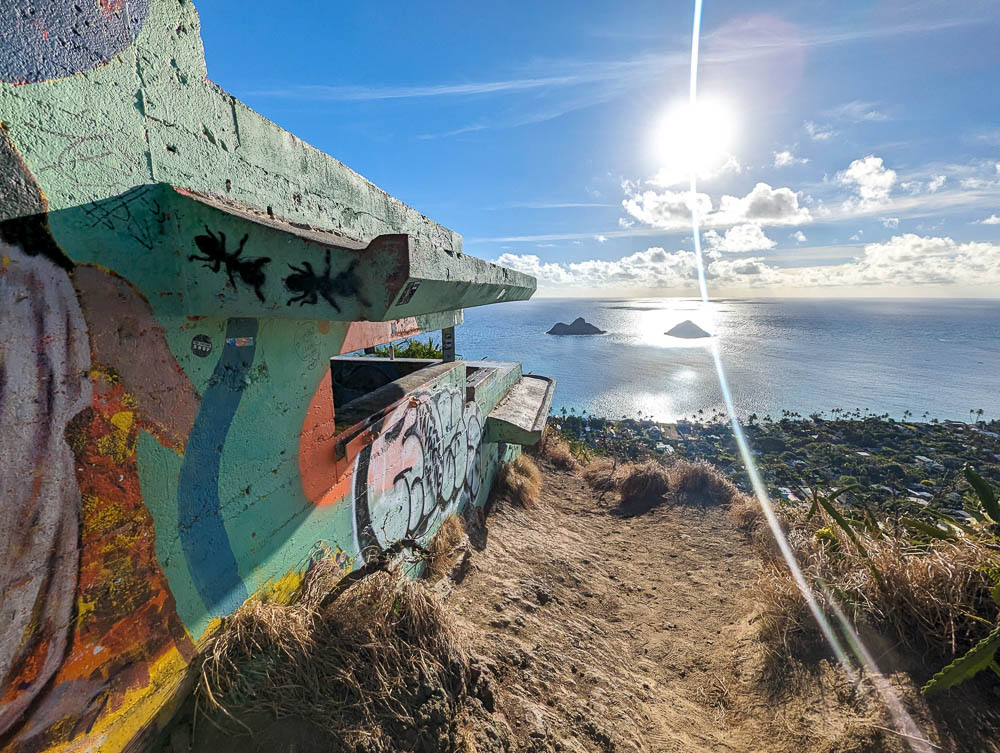
Installed by the U.S. Army in 1943, the Lanikai pillboxes aren’t even “pillboxes” in the traditional sense; they were never intended for defensive purposes nor were they ever armed. Instead, they served as observation stations and command centers.
They were fitted with high-tech equipment with which troops would scan the ocean for enemy vessels and communicate with gun batteries on the Mokapu Peninsula, on Pu‘u Papa‘a, and at the Kane’ohe Bay Naval Air Station.
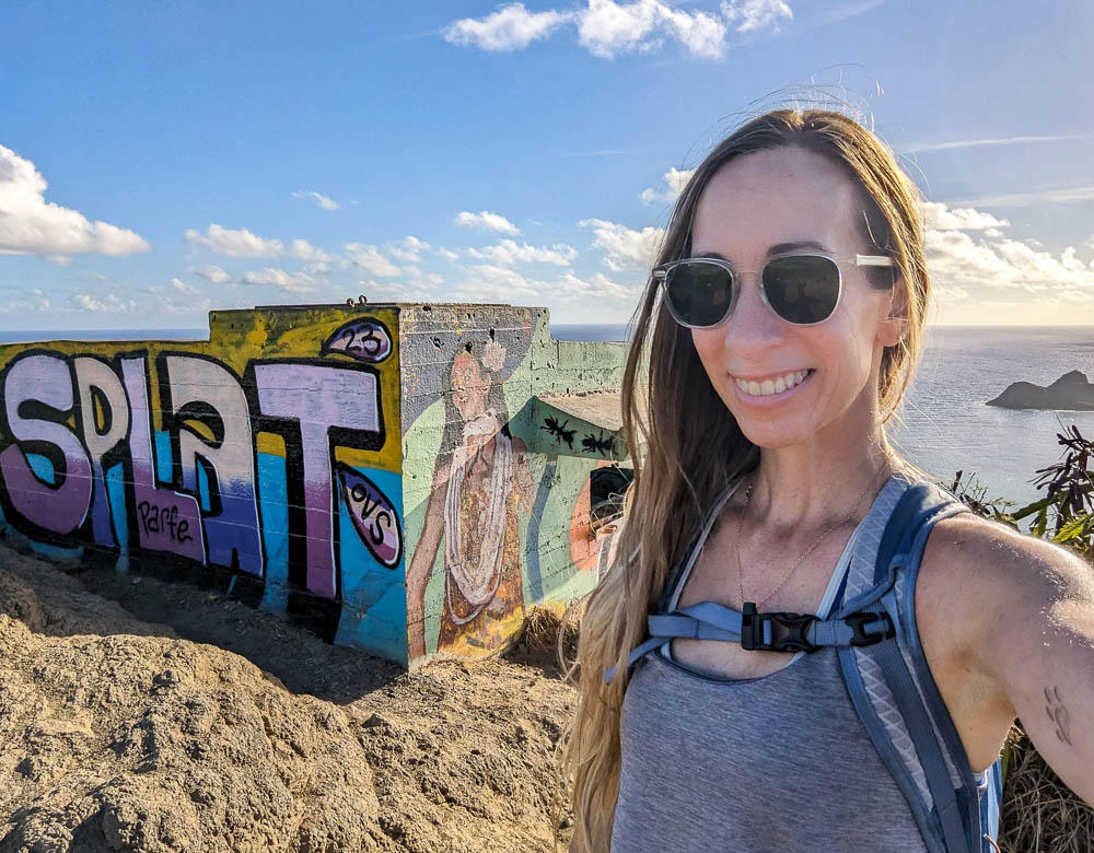
The first of the two “pillboxes” you’ll encounter is a single-tiered structure known as Station 29A. Stations 29B and 29C make up the second one you’ll visit—a two-tiered structure.
The Lanikai Pillbox hike today
The Lanikai Pillbox hike will take you between 1 hour and 1.5 hours, is fairly easy and only moderately physically demanding. Most of the hike is a worn path but there are a couple of pretty steep sections you’ll have to climb up and down. And though this hike isn’t too technical or anything, there are a bunch of things you need to know before you go!
Like the hike above, I have a full guide to hiking the Lanikai Pillbox trail that you should definitely read. It includes everything you need to know about parking, where not to go on this hike, what to watch out for, and how to cope with the thousands of bees you’ll meet on this trail. (Yes, bees!)
3. Makapu’u Lighthouse Trail
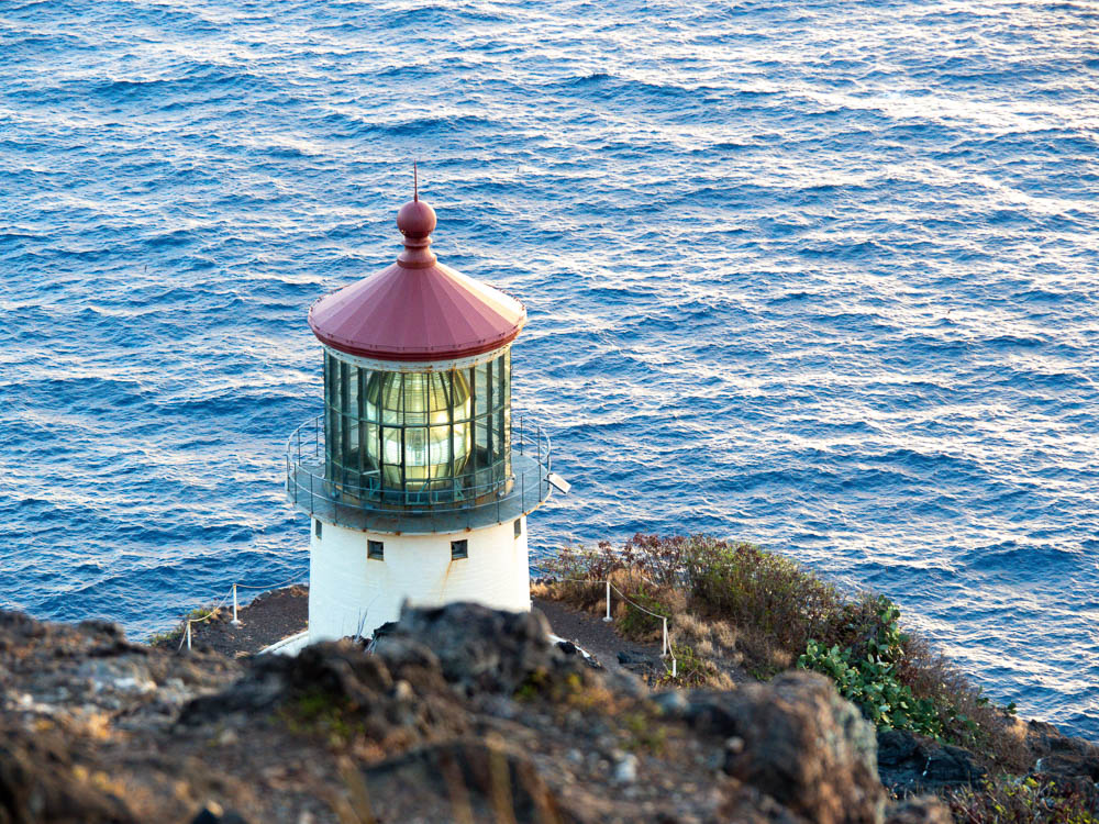
The Makapu’u Lighthouse Trail is probably going to be the easiest hike on this list and, as such, it makes for one of the best sunrise hikes on Oahu. This trail is located down on Oahu’s southeasternmost point and takes you to to the Makapu’u Lighthouse as well as a handful of ruined WWII bunkers.
The Makapu’u Lighthouse Trail is part of the Kaiwi State Scenic Shoreline.
Makapu’u Lighthouse Trail at a glance
Here’s what you can expect on this favorite hike of mine:
- Distance: 2.5 miles roundtrip
- Time to complete: 1.5 hours
- Elevation gain: 650 feet
- Route type: Out and back
- Terrain: Fully paved trail, loose rocks and stabby plants in the “off-road” sections
- Conditions: Fully exposed, hot and humid, moderately windy
- Difficulty: Pretty easy but moderate in parts
A hike on the Makapu’u Lighthouse Trail and free roundtrip transportation is included in the Oahu GoCity Pass. (Along with all the other best stuff to do on the island!)
Makapu’u Lighthouse Trail history
The Makapu’u Lighthouse was first lit in October 1909 (after several ships had run aground in this area and their captains demanded a solution). Lighthouse operations were automated in 1974 and this adorable little lighthouse has been the property of the U.S. Coast Guard ever since.
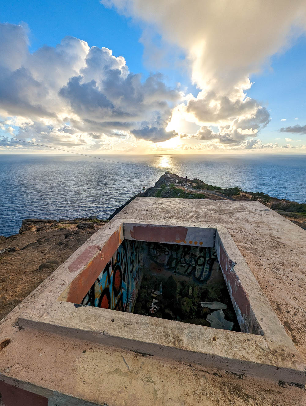
During World War II, a few concrete pillboxes were installed at the top of the adjacent hills. Beyond that, I haven’t been able to find much information on what purpose they served exactly other than “observation.” But, here they are.
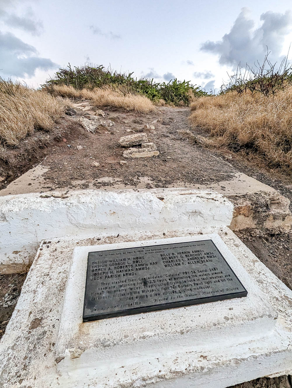
You’ll also find a memorial to the nine American naval aviators who died after crashing their Consolidated “Catalina” PBY-5A Serial 2487 seaplane here on April 5, 1942.
As the memorial says, they crashed here after “returning from 12.5 hours of patrolling the waters around Hawaii for enemy forces. They crashed trying to land in foul weather and darkness, mistaking the Makapu’u light for Barbers Point light and hit the hillside during a low altitude circling maneuver.”
The Makapu’u Lighthouse Trail today
Today, you can hike the beautifully paved route up the mountain to the Makapu’u Point Lookout. From here you can:
- Look down at the lighthouse (access to it is off-limits though)
- See some of the other hikes like Koko Crater and Diamond Head
- Spot the other Hawaiian islands of Moloka’i, Lanai, and Maui (on a clear day)
- and even do some whale watching
But you can also do a bit of “off-roading” to visit the remains of the bunkers (where the views are even better). Follow the (pretty haphazard) makeshift paths up to the bunkers but be careful when you’re up there.
For more information on how to hike the Makapu’u Lighthouse Trail, check out my complete guide in that link.

4. Diamond Head Crater hike
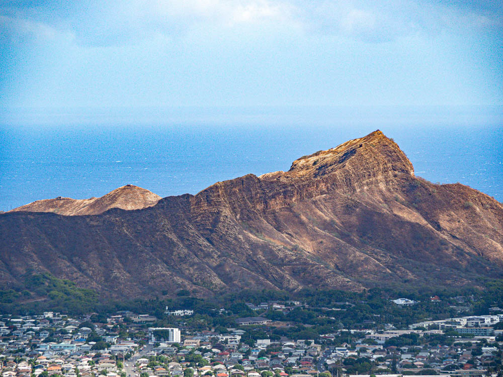
Besides being one of the coolest WWII hikes on Oahu, one of the most popular hikes in general here is the Diamond Head Crater hike. This easy-to-moderate hike takes you up to the summit of Diamond Head Crater, one of Oahu’s most recognizable icons. (If you’ve ever seen a picture of Waikiki, you’ve seen Diamond Head.)
The native Hawaiian name of Diamond Head Crater is Lē’ahi.
Diamond Head hike at a glance
Here’s what you can expect on the Diamond Head hike:
- Distance: 2 miles roundtrip
- Time to complete: 1.5 hours
- Elevation gain: 560 feet
- Route type: Out and back
- Terrain: Concrete walkways, dirt/gravel path, plenty of tripping hazards, tons of stairs
- Conditions: Fully exposed, hot and humid, super windy at the top
- Difficulty: Easy to moderate, but still challenging
Free roundtrip transportation and a Diamond Head hike is included in the Oahu GoCityPass. (They make all the reservations for you!)
Diamond Head history
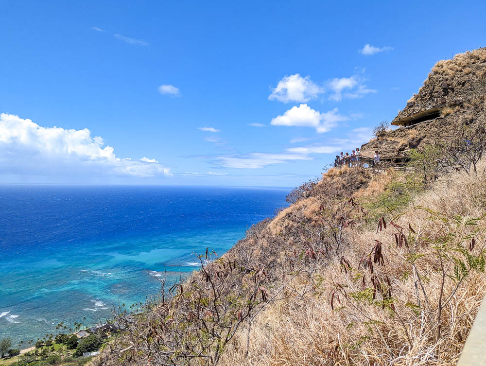
Well, Diamond Head’s history goes back thousands and thousands of years to its formation, but we’ll skip ahead to the good stuff. While hiking Diamond Head you’ll see tons of war-era pillboxes and bunkers. The majority of these date back to the WWI and interwar years.
There are several defense installations that the WWII years brought us, like:
- The Kahala Tunnel – the tunnel you’ll drive through to get to the parking area
- Fort Ruger – Parts of which the Hawaii National Guard still uses today
- Battery 407 – Also still in use (so you can’t visit it unfortunately)
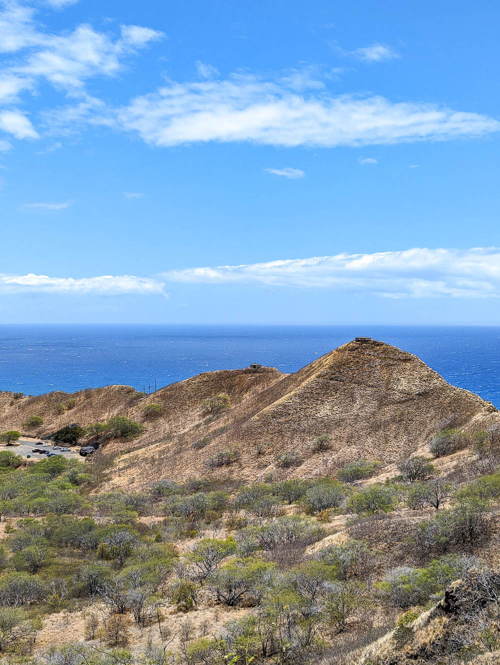
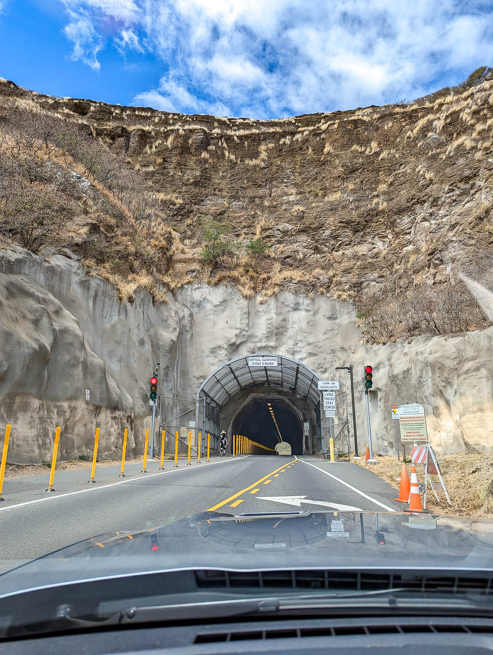
Diamond Head’s prominent location made it ideal for island defense during World War II. It was also used as a fire control station, which you can still visit the remains of at the top. You can also read about the crater’s defensive use during the war on informational panels along the trail.
If you’d like to learn more about Diamond Head’s military history, check out this page. It may be pretty outdated, but it’s also incredibly thorough and the best source I’ve found yet. (History, being it was it is, rarely changes anyway.)

Diamond Head today
Today, the Diamond Head Crater hike is one of the must-dos when visiting Oahu. You get incredible views of Waikiki and the rest of southern Oahu from its summit and it’s just enough of a challenge to make it feel worthwhile.
For everything you need to know about hiking Diamond Head crater, check out my full guide in that link. There are some things you need to know, like how to make hiking reservations and more.
5. Pink Pillbox hike (Pu’u O Hulu)
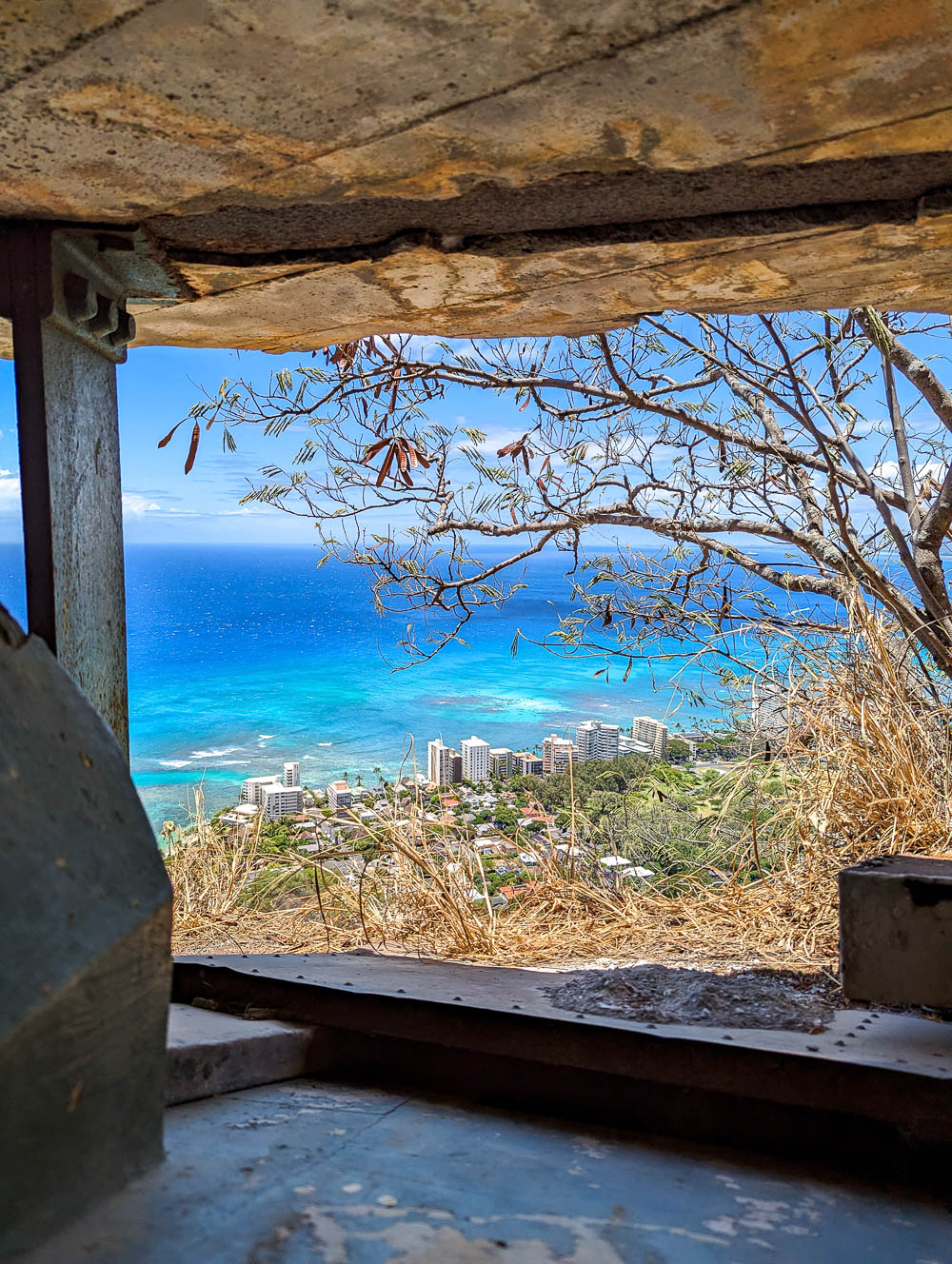
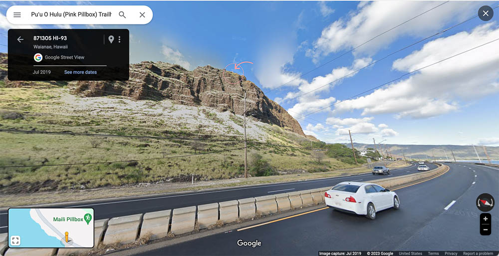
The Pink Pillbox hike takes you up along the Pu’u O Hulu ridge in Waianae to even more WWII pillboxes, the most well-known of which is painted bright pink. This short but steep hike rewards you with incredible 360° views at the top (and you might even see some goats along the way).
Pink Pillbox hike at a glance
Here’s what you can expect on the Pink Pillbox hike:
- Distance: 1.6 miles roundtrip
- Time to complete: < 1.5 hours
- Elevation gain: 879 feet
- Route type: Out and back
- Terrain: Slick areas in spots (muddy after rain), some loose rocks and dirt
- Conditions: Mostly exposed, hot and dry, often windy, some rock scrambles
- Difficulty: Moderately challenging
Pink Pillbox history
The pink pillbox you’ll visit on this trail was part of the Puu-o-Hulu Military Reservation (POHMR) which was established in April 1923. Battery Hulu (as the Pink Pillbox was once known) was built here during World War II as an emergency seacoast battery.
Unlike most of the pillboxes I’ve mentioned in this post, this one was actually armed. It initially held two 7-inch 45-caliber naval guns that were later replaced with 6-inch versions. This and many other military installations were connected via a series of tunnels.
When the war ended, all construction at the POHMR stopped abruptly and was completely abandoned. This is just a summary of Battery Hulu’s history, but if you’d like to know the whole story, check out this fantastic article from The Coast Defense Journal.
Pink Pillbox hike today
Today, the Pink Pillbox hike is another of the most popular WWII hikes on Oahu and a favorite sunset hike. Years ago, a hiker on a mission to increase breast cancer awareness painted Battery Hulu bright pink.
For more details on hiking to the Oahu’s pink pillbox, check out this hike’s AllTrails page.
More WWII hikes on Oahu
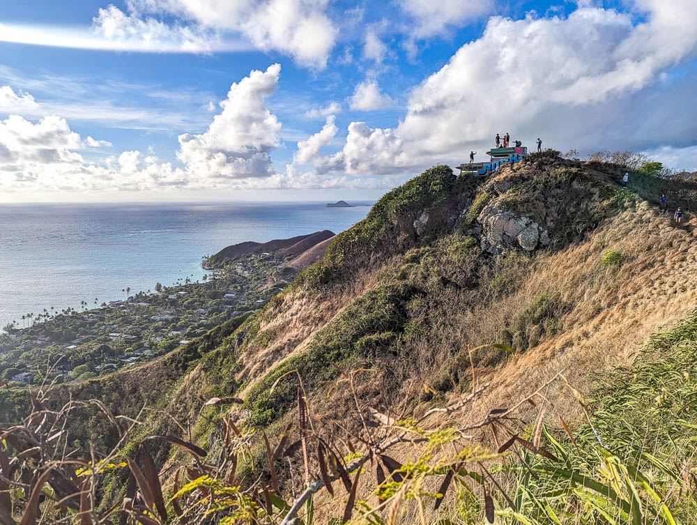
The following are a few more, lesser-known WWII hikes in Oahu (that I’ll be checking out on my next visit).
6. Aiea Loop Trail (to a B-24 crash site)
The Aiea Loop Trail was having some work done during my latest visit to Oahu so the whole park was closed. I unfortunately didn’t get to hike to the WWII crash site myself this time, but I’ll still share a little bit about it and point you in the right direction.
The Aiea Loop Trail is part of the Keaiwa Heiau State Recreation Area and along this trail are the remains of a B-24 bomber that crashed here on May 5th, 1944. To learn more about the crash incident and what it’s like hiking this trail, check out this article and the AllTrails page.
7. The Peace Pillbox hike
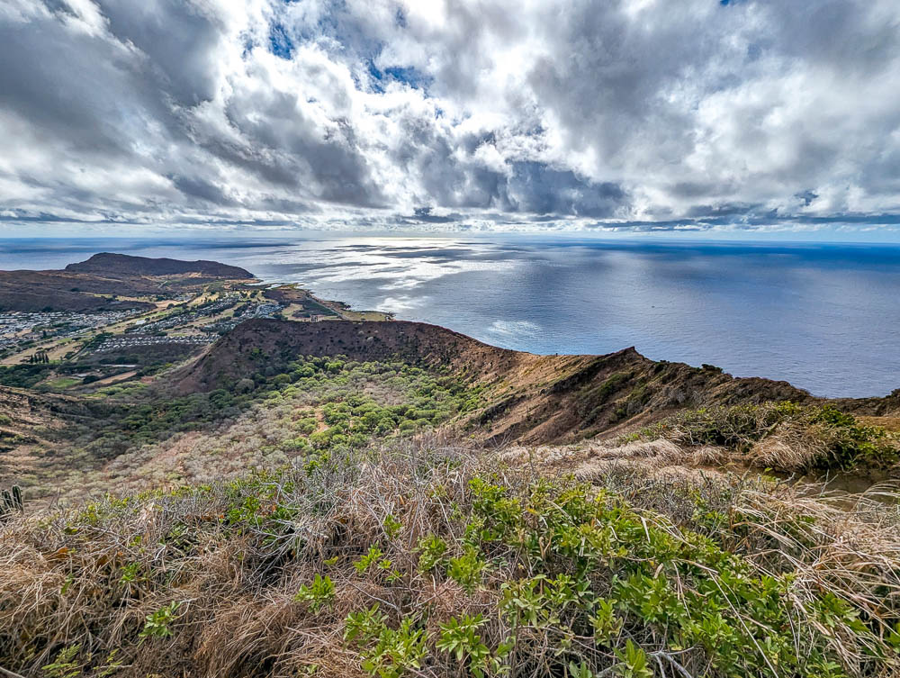
The “Peace Pillbox” hike is also known as the Ehukai Pillbox hike and is a 2.3-mile, moderately challenging loop trail. The name comes from the peace sign that marks the second pillbox on the hike. For more information on hiking the Ehukai pillboxes, check out the AllTrails page here.
8. WWII bunker at Camp Timberline / Camp Pālehua
What used to be the Radio Station Camp Timberline is now known as Camp Pālehua and is located on private conservation land. Camp Pālehua, with its beautiful campgrounds, hiking trails, and emphasis on Hawaiian culture is said to be a real hidden gem on the island.
Within these lands are a hiking trail that will take you to the remains of a WWII bunker (known as Pu’u Manawahua). You can still hike to the WWII bunker here, but since this is now private land you will need to pay the $10 fee. Regardless, the WWII bunkers hike is still self-guided. For more information, check out Camp Pālehua here and the AllTrails page.
9. WWII pillboxes at Ka’ena Point
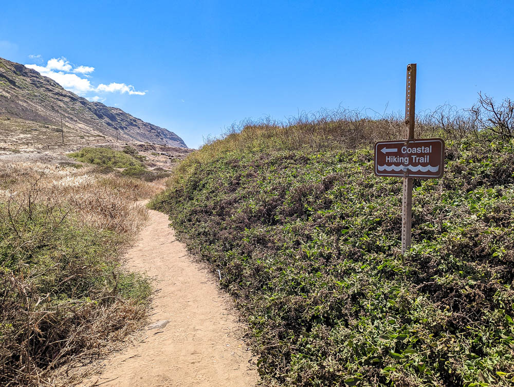
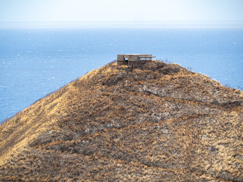
The hike to the WWII pillboxes at Ka’ena Point are the northernmost of all the WWII hikes on Oahu. Up at the tippy-top of the island is the rugged coastline of Ka’ena Point and the remains of the Ka’ena Point Military Reservation, also known as Camp Ka’ena.
I did hike the Ka’ena Point coastal trail while I was on Oahu last, but I didn’t make it up to the pillboxes. (Mostly due to time constraints and a lingering surfing injury I had yet to tend to, oops.) But I can vouch for how rugged (and beautiful) this whole area is.
Instead, I’ll refer you to this website where the author explains in detail how to get to the Ka’ena point pillboxes. (And through many beautiful and helpful photos.)
Beyond these 9 thrilling WWII hikes on Oahu, there are still more. Some are located on private property (so I wouldn’t dare recommend those to you), some are illegal (like the so-called “Stairway to Heaven” or “Haiku Stairs”), and others could barely be considered “hiking trails” at all.
The number of WWII pillboxes and other structures scattered throughout the island is truly mind boggling. However, not all of them make for popular hiking destinations since the trails aren’t properly maintained, if there’s a trail at all. Always exercise caution when attempting these WWII hikes on Oahu (or anywhere really). Happy trails!
More info for your trip to the WWII hikes on Oahu
- Hotels: Read reviews and book your room here on Booking.com (Hotels.com and Expedia usually have good deals too.) VRBO is best for rental properties.
- Rental car: Check out the best rental car deals on Oahu here so you can drive yourself to all the trailheads.
- Sightseeing: Pick up your Oahu GoCity pass here and you can potentially save lots of money.
- Trip planning: Don’t forget to pick up a Hawaii guidebook for the rest of your trip and this pocket size USA customs and culture guide if you’re coming to us from abroad.
- More Hawaii: Check out all my Hawaii blog posts here.
Save this info, pin this image:
